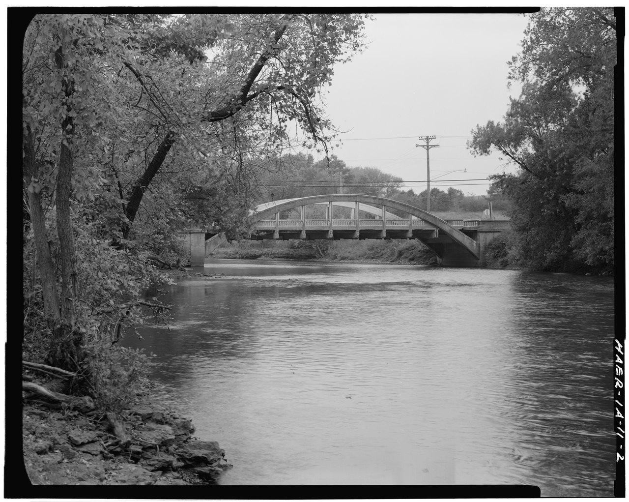
File:J Ceronie photographer. VIEW LOOKING SOUTH - Taylor Bridge, Spanning Winnebago River, U.S. Route 18, Mason City, Cerro Gordo County, IA HAER IOWA,17-MASCIT,4-2.tif

Size of this JPG preview of this TIF file: 752 × 600 pixels. Other resolutions: 301 × 240 pixels | 602 × 480 pixels | 963 × 768 pixels | 1,280 × 1,021 pixels | 2,560 × 2,042 pixels | 4,896 × 3,905 pixels.
Original file (4,896 × 3,905 pixels, file size: 18.24 MB, MIME type: image/tiff)
Captions
Captions
Add a one-line explanation of what this file represents
Summary edit
| J Ceronie photographer. VIEW LOOKING SOUTH - Taylor Bridge, Spanning Winnebago River, U.S. Route 18, Mason City, Cerro Gordo County, IA | ||||
|---|---|---|---|---|
| Title |
J Ceronie photographer. VIEW LOOKING SOUTH - Taylor Bridge, Spanning Winnebago River, U.S. Route 18, Mason City, Cerro Gordo County, IA |
|||
| Depicted place | Iowa; Cerro Gordo County; Mason City | |||
| Date | Documentation compiled after 1968 | |||
| Dimensions | 4 x 5 in. | |||
| Current location |
Library of Congress Prints and Photographs Division Washington, D.C. 20540 USA http://hdl.loc.gov/loc.pnp/pp.print |
|||
| Accession number |
HAER IOWA,17-MASCIT,4-2 |
|||
| Credit line |
|
|||
| Notes |
|
|||
| Source | https://www.loc.gov/pictures/item/ia0139.photos.066263p | |||
| Permission (Reusing this file) |
|
|||

| Object location | | View this and other nearby images on: OpenStreetMap |
|---|
File history
Click on a date/time to view the file as it appeared at that time.
| Date/Time | Thumbnail | Dimensions | User | Comment | |
|---|---|---|---|---|---|
| current | 15:24, 13 July 2014 |  | 4,896 × 3,905 (18.24 MB) | Fæ (talk | contribs) | GWToolset: Creating mediafile for Fæ. HABS 11 July 2014 (1001:1200) |
You cannot overwrite this file.
File usage on Commons
The following page uses this file: