File:Kaptoelpel P1010380.JPG

Size of this preview: 790 × 599 pixels. Other resolutions: 317 × 240 pixels | 633 × 480 pixels | 1,013 × 768 pixels | 1,280 × 971 pixels | 2,560 × 1,942 pixels | 3,132 × 2,376 pixels.
Original file (3,132 × 2,376 pixels, file size: 5.1 MB, MIME type: image/jpeg)
Captions
Captions
Add a one-line explanation of what this file represents
| Camera location | | View this and other nearby images on: OpenStreetMap |
|---|
| Description |
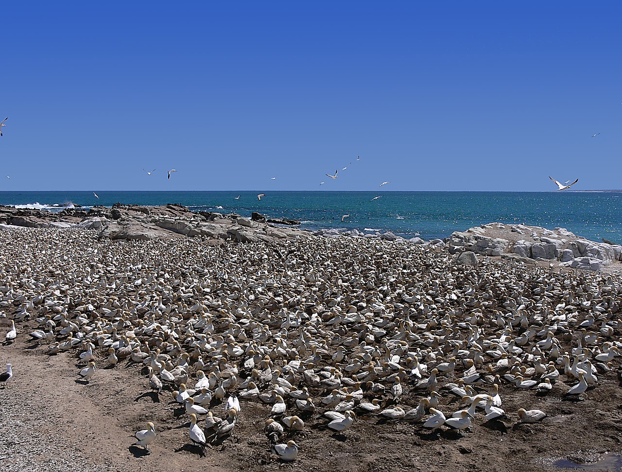
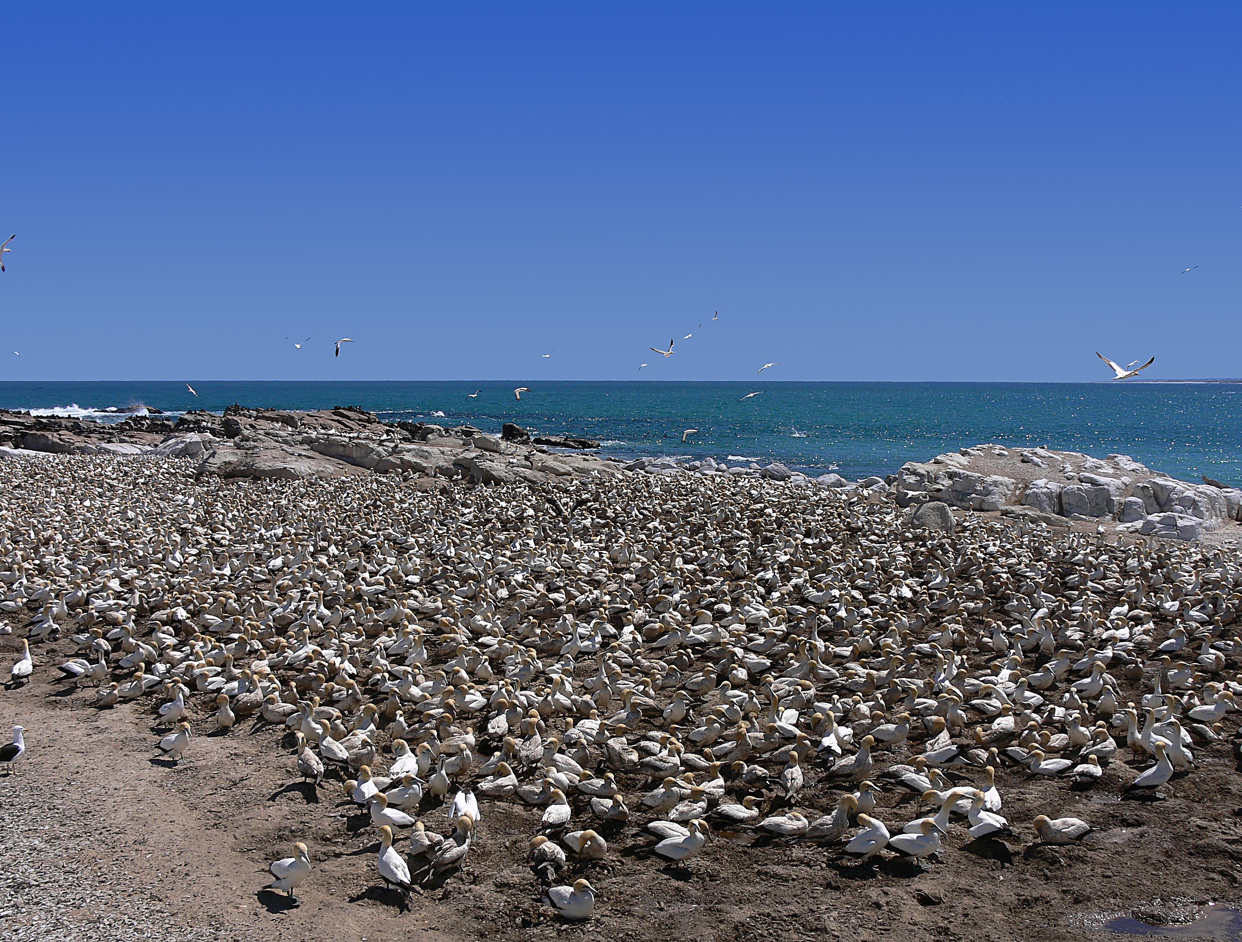
Deutsch: Das Schutzgebiet Bird Island Nature Reserve zum Schutz der Kaptölpel Morus capensis, Lamberts Bay, Westkap, Südafrika |
| Date | |
| Source | Own work |
| Author | Winfried Bruenken (Amrum) |
| Permission (Reusing this file) |
Attribution ShareAlike 2.5 |
This file is licensed under the Creative Commons Attribution-Share Alike 2.5 Generic license.
- You are free:
- to share – to copy, distribute and transmit the work
- to remix – to adapt the work
- Under the following conditions:
- attribution – You must give appropriate credit, provide a link to the license, and indicate if changes were made. You may do so in any reasonable manner, but not in any way that suggests the licensor endorses you or your use.
- share alike – If you remix, transform, or build upon the material, you must distribute your contributions under the same or compatible license as the original.
File history
Click on a date/time to view the file as it appeared at that time.
| Date/Time | Thumbnail | Dimensions | User | Comment | |
|---|---|---|---|---|---|
| current | 16:20, 20 February 2007 | | 3,132 × 2,376 (5.1 MB) | Amrum (talk | contribs) | {{Information |Description=Bird Island Nature Reserve, Lamerts Bay, Westkap, Südafrika |Source=selbst erstellt/own work |Date=2006 |Author=Winfried Bruenken (Amrum) |Permission=Attribution ShareAlike 2.5 |other_versions= }} {{cc-by-sa-2 |
You cannot overwrite this file.
File usage on Commons
The following 4 pages use this file:
File usage on other wikis
The following other wikis use this file:
- Usage on ceb.wikipedia.org
- Usage on de.wikipedia.org
- Usage on fi.wikipedia.org
- Usage on hu.wikipedia.org
- Usage on nds.wikipedia.org
- Usage on vi.wikipedia.org