File:KizhiIsland 007 7094.jpg

Size of this preview: 800 × 422 pixels. Other resolutions: 320 × 169 pixels | 640 × 338 pixels | 1,024 × 540 pixels | 1,280 × 675 pixels | 2,560 × 1,351 pixels | 12,532 × 6,613 pixels.
Original file (12,532 × 6,613 pixels, file size: 69.11 MB, MIME type: image/jpeg)
Captions
Captions
Add a one-line explanation of what this file represents
Summary edit
| Warning | The original file is very high-resolution. It might not load properly or could cause your browser to freeze when opened at full size. |
|---|
| Description |
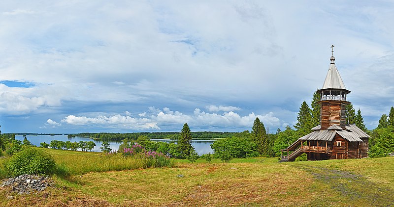
Русский: Часовня Трёх Святителей и охранная зона музея-заповедника «Кижи»: Остров в заливе Малое Онего Онежского озера, Кижи, Медвежьегорский район, Карелия
English: Chapel of the Three Holy Hierarchs from Kavgor and Kizhi Nature Protected Area, Karelia, Russia
|
|||
| Date | Taken on 7 July 2019, 15:59:57 | |||
| Source | Own work | |||
| Author | Ludvig14 |
| Camera location | | View this and other nearby images on: OpenStreetMap |
|---|

|
Эта фотография сделана в ходе вики-экспедиции по Карельскому перешейку, июль 2019.
This picture was taken during a Russian Wikivoyage expedition. |
Licensing edit
I, the copyright holder of this work, hereby publish it under the following license:
This file is licensed under the Creative Commons Attribution-Share Alike 4.0 International license.
- You are free:
- to share – to copy, distribute and transmit the work
- to remix – to adapt the work
- Under the following conditions:
- attribution – You must give appropriate credit, provide a link to the license, and indicate if changes were made. You may do so in any reasonable manner, but not in any way that suggests the licensor endorses you or your use.
- share alike – If you remix, transform, or build upon the material, you must distribute your contributions under the same or compatible license as the original.
This image was uploaded as part of Wiki Loves Earth 2020.
|
 |
File history
Click on a date/time to view the file as it appeared at that time.
| Date/Time | Thumbnail | Dimensions | User | Comment | |
|---|---|---|---|---|---|
| current | 16:42, 28 June 2020 | | 12,532 × 6,613 (69.11 MB) | Ludvig14 (talk | contribs) | Uploaded own work with UploadWizard |
You cannot overwrite this file.
File usage on Commons
There are no pages that use this file.