File:Kreuzjoch-SW.jpg
Size of this preview: 800 × 600 pixels. Other resolutions: 320 × 240 pixels | 640 × 480 pixels | 1,024 × 768 pixels | 1,280 × 960 pixels | 2,560 × 1,920 pixels | 3,072 × 2,304 pixels.
Original file (3,072 × 2,304 pixels, file size: 3.82 MB, MIME type: image/jpeg)
File information
Structured data
Captions
Summary edit
Austria Land Tirol - Ötztaler Alpen 2.305 m ü. A.
DescriptionKreuzjoch-SW.jpg |
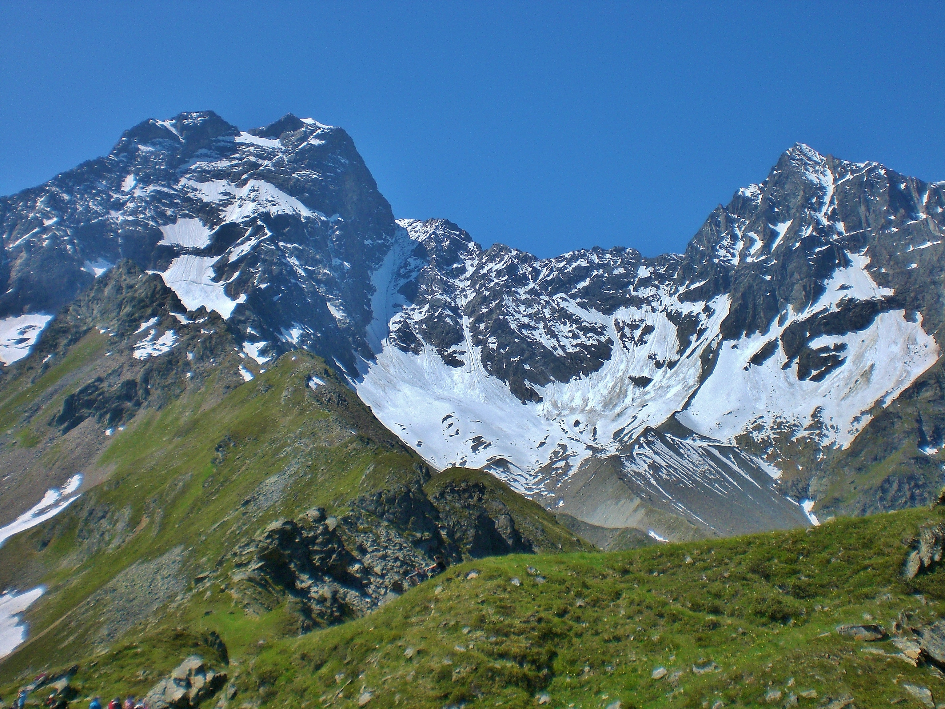
Deutsch: Blick vom Rosskopf (oberer Rand der Arzler Alm) über das Kreuzjoch südwestwärts zu Rofelewand & Gsallkopf. |
Date | Taken on 27 June 2010, 11:28:09 |
Source | Own work |
Author | FkMohr, Fotografin Supakon Mohr |
Camera location | 47° 03′ 07.1″ N, 10° 49′ 56.78″ E | View this and other nearby images on: OpenStreetMap | 47.051973; 10.832440 |
---|
T {BT100627-1128}
Licensing edit
Supakon Mohr, the copyright holder of this work, hereby publishes it under the following license:
This file is licensed under the Creative Commons Attribution-Share Alike 3.0 Germany license.
Attribution: Supakon Mohr
- You are free:
- to share – to copy, distribute and transmit the work
- to remix – to adapt the work
- Under the following conditions:
- attribution – You must give appropriate credit, provide a link to the license, and indicate if changes were made. You may do so in any reasonable manner, but not in any way that suggests the licensor endorses you or your use.
- share alike – If you remix, transform, or build upon the material, you must distribute your contributions under the same or compatible license as the original.
Annotations InfoField | This image is annotated: View the annotations at Commons |
2582
346
38
38
3072
2304
Gsallkopf (3277m)
931
269
38
38
3072
2304
Rofelewand (3353m)
1128
1042
941
552
3072
2304
Gschwandferner
File history
Click on a date/time to view the file as it appeared at that time.
Date/Time | Thumbnail | Dimensions | User | Comment | |
---|---|---|---|---|---|
current | 17:41, 31 January 2021 | 3,072 × 2,304 (3.82 MB) | FkMohr (talk | contribs) | Uploaded own work with UploadWizard |
You cannot overwrite this file.
File usage on Commons
The following 2 pages use this file:
Metadata
This file contains additional information such as Exif metadata which may have been added by the digital camera, scanner, or software program used to create or digitize it. If the file has been modified from its original state, some details such as the timestamp may not fully reflect those of the original file. The timestamp is only as accurate as the clock in the camera, and it may be completely wrong.
Image title |
|
---|---|
Camera manufacturer | CASIO COMPUTER CO.,LTD. |
Camera model | EX-Z75 |
Author | CIMG2908;Tui |
Copyright holder |
|
Exposure time | 1/1,000 sec (0.001) |
F-number | f/4.4 |
ISO speed rating | 50 |
Date and time of data generation | 11:28, 27 June 2010 |
Lens focal length | 6.3 mm |
Latitude | 47° 3′ 7.1″ N |
Longitude | 10° 49′ 56.78″ E |
Altitude | 2,305 meters above sea level |
Short title |
|
City shown | Ötztaler Alpen |
Orientation | Normal |
Horizontal resolution | 72 dpi |
Vertical resolution | 72 dpi |
Software used | 1.01 |
File change date and time | 18:33, 31 January 2021 |
Y and C positioning | Centered |
Exposure Program | Normal program |
Exif version | 2.21 |
Date and time of digitizing | 11:28, 27 June 2010 |
Meaning of each component |
|
Image compression mode | 2.7777777777778 |
APEX exposure bias | 0 |
Maximum land aperture | 3.3 APEX (f/3.14) |
Metering mode | Pattern |
Light source | Unknown |
Flash | Flash did not fire, auto mode |
Supported Flashpix version | 1 |
Color space | sRGB |
File source | Digital still camera |
Custom image processing | Normal process |
Exposure mode | Auto exposure |
White balance | Auto white balance |
Focal length in 35 mm film | 38 mm |
Scene capture type | Standard |
Scene control | None |
Contrast | Normal |
Saturation | Normal |
Sharpness | Normal |
Unique image ID | 3E8B63D2EF7D4B54AB30C530AC198F7F |
GPS time (atomic clock) | 09:28 |
Reference for direction of image | True direction |
Direction of image | 217.97 |
Geodetic survey data used | WGS-84 |
Latitude destination | 47° 2′ 4.45″ N |
Longitude of destination | 10° 48′ 45.04″ E |
GPS date | 27 June 2010 |
GPS tag version | 2.2.0.0 |
Supported Flashpix version | 1 |
Image width | 3,072 px |
Image height | 2,304 px |
Compression scheme | JPEG (old) |
Code for country shown | AUT |
Sublocation of city shown | Rosskopf |
Country shown | Österreich |
Province or state shown | Tirol |
IIM version | 4 |