File:Michie Tavern, 683 Thomas Jefferson Parkway (moved from Buck Mountain Road), Charlottesville, Charlottesville, VA HABS VA,2-CHAR.V,10-; (sheet 4 of 7).tif

Size of this JPG preview of this TIF file: 765 × 600 pixels. Other resolutions: 306 × 240 pixels | 612 × 480 pixels | 979 × 768 pixels | 1,280 × 1,004 pixels | 2,560 × 2,008 pixels | 10,031 × 7,867 pixels.
Original file (10,031 × 7,867 pixels, file size: 198 KB, MIME type: image/tiff)
Captions
Captions
Add a one-line explanation of what this file represents
Summary edit
| Warning | The original file is very high-resolution. It might not load properly or could cause your browser to freeze when opened at full size. |
|---|
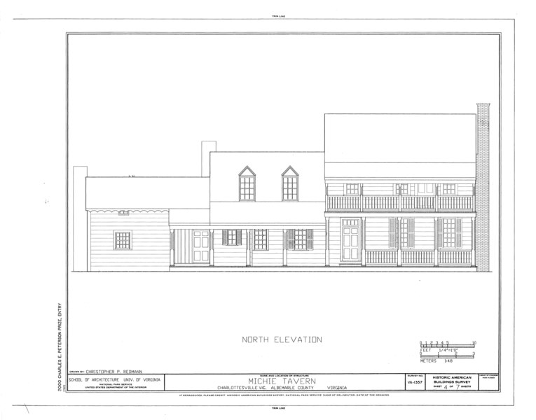
| HABS VA,2-CHAR.V,10-; (sheet 4 of 7) - Michie Tavern, 683 Thomas Jefferson Parkway (moved from Buck Mountain Road), Charlottesville, Charlottesville, VA | ||||
|---|---|---|---|---|
| Title |
HABS VA,2-CHAR.V,10-; (sheet 4 of 7) - Michie Tavern, 683 Thomas Jefferson Parkway (moved from Buck Mountain Road), Charlottesville, Charlottesville, VA |
|||
| Description |
Redmann, Christopher P, delineator |
|||
| Depicted place | Virginia; Charlottesville; Charlottesville | |||
| Date | Documentation compiled after 1933 | |||
| Dimensions | 19 x 24 in. (B size) | |||
| Current location |
Library of Congress Prints and Photographs Division Washington, D.C. 20540 USA http://hdl.loc.gov/loc.pnp/pp.print |
|||
| Accession number |
HABS VA,2-CHAR.V,10-; (sheet 4 of 7) |
|||
| Credit line |
|
|||
| Notes |
|
|||
| Source | https://www.loc.gov/pictures/item/va1820.sheet.00004a | |||
| Permission (Reusing this file) |
|
|||

| Object location | | View this and other nearby images on: OpenStreetMap |
|---|
File history
Click on a date/time to view the file as it appeared at that time.
| Date/Time | Thumbnail | Dimensions | User | Comment | |
|---|---|---|---|---|---|
| current | 12:43, 4 August 2014 |  | 10,031 × 7,867 (198 KB) | Fæ (talk | contribs) | GWToolset: Creating mediafile for Fæ. HABS 2014-08-02 (3401:3600) |
You cannot overwrite this file.
File usage on Commons
The following page uses this file: