File:Oil producing USA-states-Canada-provinces map.svg

Size of this PNG preview of this SVG file: 600 × 600 pixels. Other resolutions: 240 × 240 pixels | 480 × 480 pixels | 768 × 768 pixels | 1,024 × 1,024 pixels | 2,048 × 2,048 pixels | 1,730 × 1,730 pixels.
Original file (SVG file, nominally 1,730 × 1,730 pixels, file size: 218 KB)
Captions
Captions
Add a one-line explanation of what this file represents
Summary edit
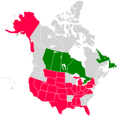
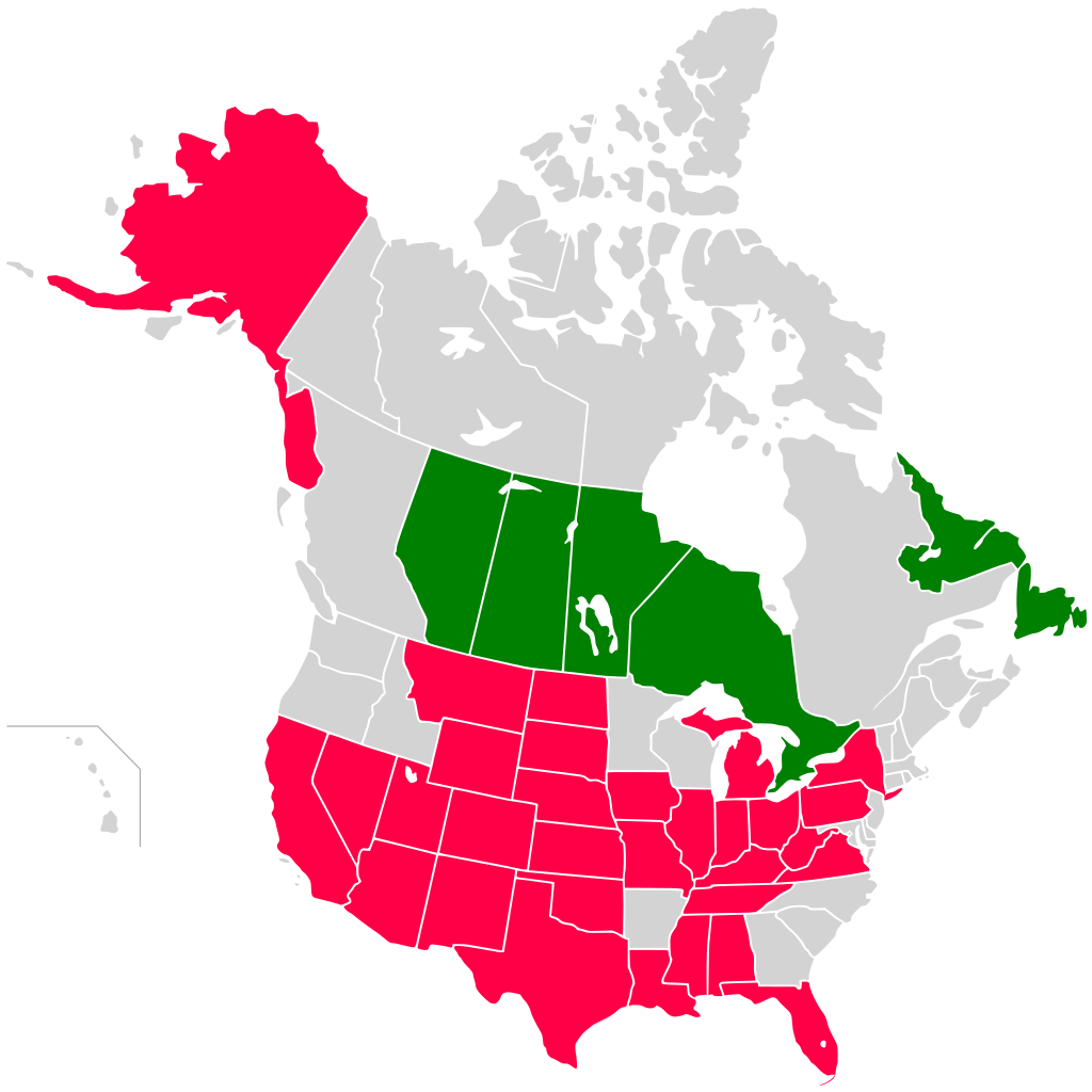
| Description | Map of states and provinces of USA and Canada producing oil |
| Date | (UTC) |
| Source |
This file was derived from: Oil producing countries map.png: |
| Author |
|
| This is a retouched picture, which means that it has been digitally altered from its original version. Modifications: crop to USA and Canada, states and provinces. The original can be viewed here: Oil producing countries map.png:
|
Licensing edit
I, the copyright holder of this work, hereby publish it under the following licenses:
| This file is licensed under the Creative Commons Attribution-Share Alike 3.0 Unported license. | ||
| ||
| This licensing tag was added to this file as part of the GFDL licensing update. |

|
Permission is granted to copy, distribute and/or modify this document under the terms of the GNU Free Documentation License, Version 1.2 or any later version published by the Free Software Foundation; with no Invariant Sections, no Front-Cover Texts, and no Back-Cover Texts. A copy of the license is included in the section entitled GNU Free Documentation License. |
You may select the license of your choice.
Original upload log edit
This image is a derivative work of the following images:
- File:Oil_producing_countries_map.png licensed with Cc-by-sa-3.0-migrated, GFDL
- 2013-01-22T13:13:13Z RosssW 1427x628 (61119 Bytes) Islands (color)
- 2013-01-22T13:04:06Z RosssW 1427x628 (61177 Bytes) supplemented by major oil-producing countries
- 2011-10-26T00:57:38Z OgreBot 1427x628 (64628 Bytes) (BOT): Reverting to most recent version before archival
- 2011-10-26T00:57:36Z OgreBot 1427x628 (37975 Bytes) (BOT): Uploading old version of file from en.wikipedia; originally uploaded on 2011-10-12 08:44:24 by [[:en:User:Vanjagenije|Vanjagenije]]
- 2011-10-26T00:57:33Z OgreBot 1427x628 (20712 Bytes) (BOT): Uploading old version of file from en.wikipedia; originally uploaded on 2007-04-18 14:58:32 by [[:en:User:Tene|Tene]]
- 2011-03-25T17:22:50Z HCPUNXKID 1427x628 (64628 Bytes) Updated OPEP countries.
- 2007-04-09T13:39:07Z Kuohatti 1427x628 (46529 Bytes) == Licensing == {{GFDL-user-w|English Wikipedia|Ekrub-ntyh}} [[Category:Economic Maps]] [[Category:Oil]] [[Category:Political maps]]
Uploaded with derivativeFX
File history
Click on a date/time to view the file as it appeared at that time.
| Date/Time | Thumbnail | Dimensions | User | Comment | |
|---|---|---|---|---|---|
| current | 08:42, 24 September 2013 | | 1,730 × 1,730 (218 KB) | Fulvio314 (talk | contribs) | {{Information |Description= Map of states and provinces of USA and Canada producing oil |Source={{Derived from|Oil_producing_countries_map.png|display=50}} |Date=2013-09-24 08:41 (UTC) |Author=*File:Oil_producing_countries_map.png: '''PLEASE COMP... |
You cannot overwrite this file.
File usage on Commons
The following page uses this file:
File usage on other wikis
The following other wikis use this file:
- Usage on it.wikipedia.org