File:Ridge Route end of cmr.jpg

Original file (1,728 × 1,228 pixels, file size: 786 KB, MIME type: image/jpeg)
Captions
Captions
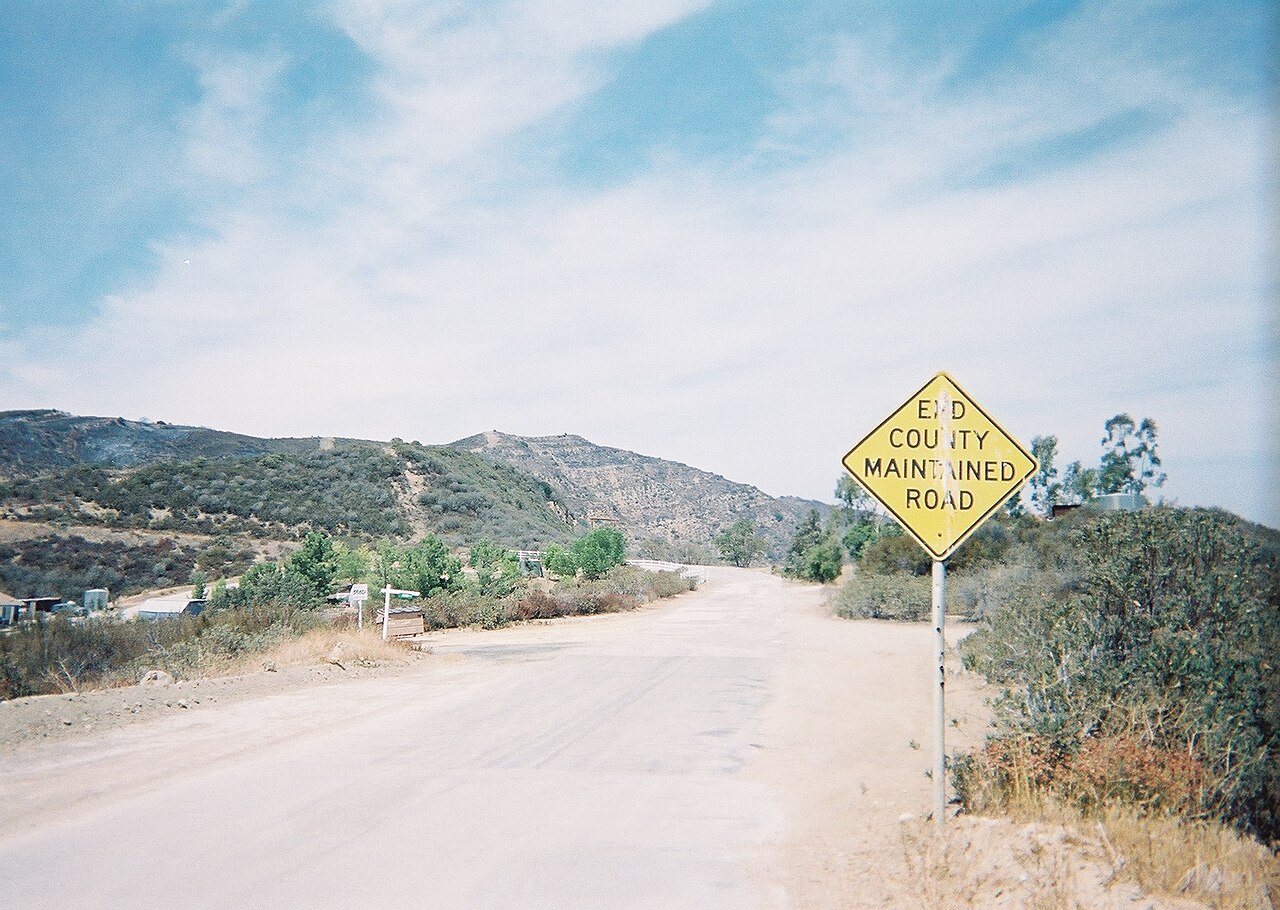
The beginning of our virtual adventure starts here at the Ridge Route's border with the southern boundary of Angeles National Forest north of Castaic. Looking north. Notice the residential buildings to the left and the white painted guardrail on the west side of the road north of the residence. This tour will travel north from this location to where the Ridge Route leaves Angeles National Forest boundaries again at Pine Canyon Road. All photos - read left to right, top to bottom - are in geographic order from south to north. Photo from private collection of avnative.
| This work has been released into the public domain by its author, Avnative at English Wikipedia. This applies worldwide. In some countries this may not be legally possible; if so: Avnative grants anyone the right to use this work for any purpose, without any conditions, unless such conditions are required by law. |
File history
Click on a date/time to view the file as it appeared at that time.
| Date/Time | Thumbnail | Dimensions | User | Comment | |
|---|---|---|---|---|---|
| current | 19:52, 18 December 2010 | | 1,728 × 1,228 (786 KB) | Ras67 (talk | contribs) | losslessly cropped with Jpegcrop |
| 03:32, 16 March 2007 |  | 1,818 × 1,228 (812 KB) | Fran Rogers (talk | contribs) | Ridge Route, End County Maintained Road.jpg courtesy avnative{{PD}}<br>The beginning of our virtual adventure starts here at the Ridge Route's border with the southern boundary of Angeles National Forest north of [[Castaic, Californi |
You cannot overwrite this file.
File usage on Commons
The following page uses this file: