File:SassRigais-S.jpg

Size of this preview: 800 × 593 pixels. Other resolutions: 320 × 237 pixels | 640 × 475 pixels | 1,024 × 759 pixels | 1,280 × 949 pixels | 2,020 × 1,498 pixels.
Original file (2,020 × 1,498 pixels, file size: 1.31 MB, MIME type: image/jpeg)
Captions
Captions
Add a one-line explanation of what this file represents
Summary edit
![]() Italy
Italy ![]() Trentino-Alto Adige/Südtirol
Trentino-Alto Adige/Südtirol ![]() Provinz Bozen - Dolomiten - 2.322 m s.l.m.
Provinz Bozen - Dolomiten - 2.322 m s.l.m.
| Description |
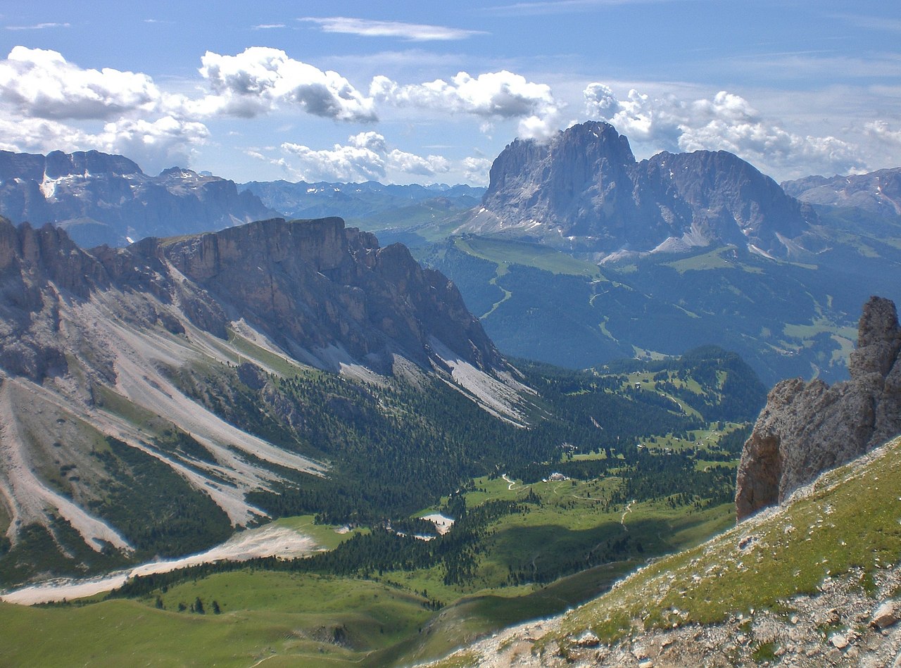
Deutsch: Blick vom Klettersteig auf der Südseite des Sass Rigais mit Blick nach Süden > Sella & Langkofel. |
| Date | Taken on 21 July 2009, 12:05:47 |
| Source | Own work |
| Author | FkMohr, Fotografin Supakon Mohr |
| Camera location | | View this and other nearby images on: OpenStreetMap |
|---|
BZ {BT090721-1205}
Licensing edit
Supakon Mohr, the copyright holder of this work, hereby publishes it under the following license:
This file is licensed under the Creative Commons Attribution-Share Alike 3.0 Germany license.
Attribution: Supakon Mohr
- You are free:
- to share – to copy, distribute and transmit the work
- to remix – to adapt the work
- Under the following conditions:
- attribution – You must give appropriate credit, provide a link to the license, and indicate if changes were made. You may do so in any reasonable manner, but not in any way that suggests the licensor endorses you or your use.
- share alike – If you remix, transform, or build upon the material, you must distribute your contributions under the same or compatible license as the original.

| Annotations | This image is annotated: View the annotations at Commons |
File history
Click on a date/time to view the file as it appeared at that time.
| Date/Time | Thumbnail | Dimensions | User | Comment | |
|---|---|---|---|---|---|
| current | 17:41, 21 September 2022 | | 2,020 × 1,498 (1.31 MB) | FkMohr (talk | contribs) | Uploaded own work with UploadWizard |
You cannot overwrite this file.
File usage on Commons
The following page uses this file: