File:Tana 39.41642E 0.95086S.jpg

Size of this preview: 800 × 599 pixels. Other resolutions: 320 × 240 pixels | 640 × 479 pixels | 1,024 × 766 pixels | 1,280 × 958 pixels.
Original file (1,280 × 958 pixels, file size: 258 KB, MIME type: image/jpeg)
Captions
Captions
Add a one-line explanation of what this file represents
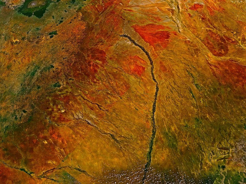
Tana River in Kenya.
NASA World Wind screenshot.
| This image is in the public domain because it is a screenshot from NASA’s globe software World Wind using a public domain layer, such as Blue Marble, MODIS, Landsat, SRTM, USGS or GLOBE.
|
 |
File history
Click on a date/time to view the file as it appeared at that time.
| Date/Time | Thumbnail | Dimensions | User | Comment | |
|---|---|---|---|---|---|
| current | 14:35, 16 May 2005 | | 1,280 × 958 (258 KB) | Rex (talk | contribs) | Tana River in Kenya. NASA World Wind screenshot. {{PD-USGov-NASA}} Category:Rivers Category:Maps of Kenya |
You cannot overwrite this file.
File usage on Commons
There are no pages that use this file.
File usage on other wikis
The following other wikis use this file:
- Usage on de.wikipedia.org
- Usage on fa.wikipedia.org
- Usage on fy.wikipedia.org
- Usage on nl.wikipedia.org
- Usage on sw.wikipedia.org