File:To his most Excellent Majesty, King William IV. This topographical map of the districts of Quebec, Three Rivers, St. Francis and Gaspé (IA McGillLibrary-124123-2574).pdf

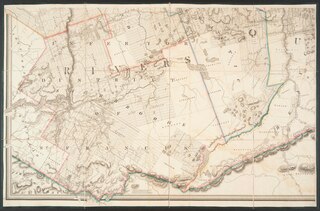
Size of this JPG preview of this PDF file: 800 × 528 pixels. Other resolutions: 320 × 211 pixels | 640 × 422 pixels | 1,024 × 676 pixels | 1,280 × 845 pixels | 2,560 × 1,690 pixels | 5,097 × 3,364 pixels.
Original file (5,097 × 3,364 pixels, file size: 6.26 MB, MIME type: application/pdf)
Captions
Captions
Add a one-line explanation of what this file represents
Summary edit
| Author |
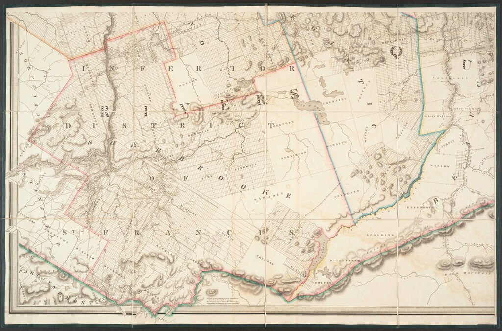
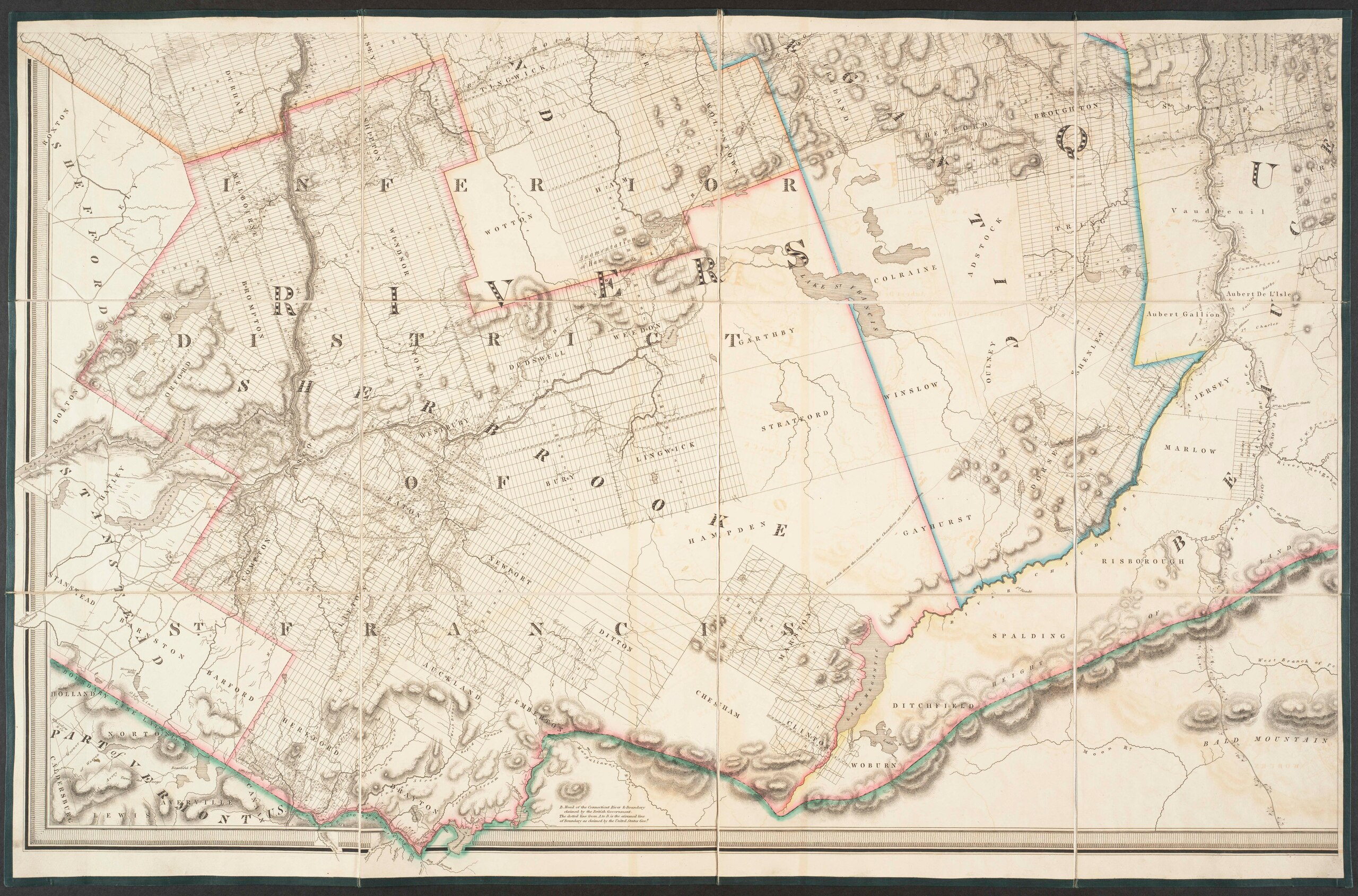
Bouchette, Joseph, 1774-1841 |
| Title |
To his most Excellent Majesty, King William IV. This topographical map of the districts of Quebec, Three Rivers, St. Francis and Gaspé, Lower Canada : exhibiting the new civil division of the districts into counties pursuant to a recent Act of the provincial legislature ; is with his Majesty's gracious and special permission, most humbly and gratefully dedicated by his Majesty's most devoted and loyal Canadian subject |
| Publisher |
London : James Wyld |
| Description |
Subjects: Québec (Province) -- Maps.; McGill University Library Digitized Title |
| Language | English |
| Publication date | 1831 |
| Current location |
IA Collections: mcgilluniversity; mcgilluniversityrarebooks; toronto |
| Accession number |
McGillLibrary-124123-2574 |
| Source |
|
Licensing edit
|
This work is in the public domain in its country of origin and other countries and areas where the copyright term is the author's life plus 100 years or fewer. This work is in the public domain in the United States because it was published (or registered with the U.S. Copyright Office) before January 1, 1929. | |
| This file has been identified as being free of known restrictions under copyright law, including all related and neighboring rights. | |
File history
Click on a date/time to view the file as it appeared at that time.
| Date/Time | Thumbnail | Dimensions | User | Comment | |
|---|---|---|---|---|---|
| current | 15:45, 1 January 2021 |  | 5,097 × 3,364 (6.26 MB) | Fæ (talk | contribs) | IA Query "subject:maps date:[1000 TO 1869] " McGillLibrary-124123-2574 Category:Old maps (COM:IA books#query) (1831 #189) |
You cannot overwrite this file.
File usage on Commons
The following page uses this file: