File:Tower details, sheet 14. San Bernardino Valley Union Junior College, Auditorium Building. Plan and elevation of tower above sixth floor; section through stage ventilators; elevation, HABS CA-2729-A-61.tif

Size of this JPG preview of this TIF file: 735 × 600 pixels. Other resolutions: 294 × 240 pixels | 588 × 480 pixels | 941 × 768 pixels | 1,255 × 1,024 pixels | 2,510 × 2,048 pixels | 5,207 × 4,248 pixels.
Original file (5,207 × 4,248 pixels, file size: 21.1 MB, MIME type: image/tiff)
Captions
Captions
Add a one-line explanation of what this file represents
Summary edit
| Photographer |
De Vries, David, creator |
|||
| Title |
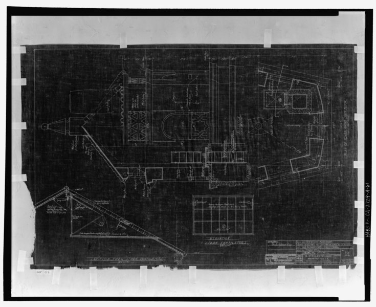
Tower details, sheet 14. San Bernardino Valley Union Junior College, Auditorium Building. Plan and elevation of tower above sixth floor; section through stage ventilators; elevation, stage ventilators. G. Stanley Wilson, Architect, A.I.A., Riverside, California. Sheet 14, job no. 692. Scale 3-4 inch to the foot. March 27, 1936. Application no. 1446, approved by the State of California, Department of Public Works, Division of Architecture, April 22, 1936. - San Bernardino Valley College, Auditorium, 701 South Mount Vernon Avenue, San Bernardino, San Bernardino County, CA |
|||
| Depicted place | California; San Bernardino County; San Bernardino | |||
| Date | 27 March 1936 | |||
| Dimensions | 8 x 10 in. | |||
| Current location |
Library of Congress Prints and Photographs Division Washington, D.C. 20540 USA http://hdl.loc.gov/loc.pnp/pp.print |
|||
| Accession number |
HABS CA-2729-A-61 |
|||
| Credit line |
|
|||
| Source | https://www.loc.gov/pictures/item/ca3113.photos.206709p | |||
| Permission (Reusing this file) |
|

| Camera location | | View this and other nearby images on: OpenStreetMap |
|---|
File history
Click on a date/time to view the file as it appeared at that time.
| Date/Time | Thumbnail | Dimensions | User | Comment | |
|---|---|---|---|---|---|
| current | 14:28, 6 July 2014 |  | 5,207 × 4,248 (21.1 MB) | Fæ (talk | contribs) | GWToolset: Creating mediafile for Fæ. HABS 05 July 2014 (501:600) |
You cannot overwrite this file.
File usage on Commons
The following page uses this file: