File:VIEW NORTHEAST, UP THE WILSON AVENUE RAMP SHOWING WEST SIDE INTERIOR CONCRETE WALL - Route 1 Extension, Southbound Viaduct, Spanning Conrail Yards, Wilson Avenue, Delancy Street, HAER NJ,7-NEARK,39-15.tif

Size of this JPG preview of this TIF file: 748 × 600 pixels. Other resolutions: 299 × 240 pixels | 599 × 480 pixels | 958 × 768 pixels | 1,277 × 1,024 pixels | 2,554 × 2,048 pixels | 5,000 × 4,010 pixels.
Original file (5,000 × 4,010 pixels, file size: 19.12 MB, MIME type: image/tiff)
Captions
Captions
Add a one-line explanation of what this file represents
Summary edit
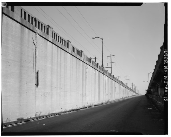
| VIEW NORTHEAST, UP THE WILSON AVENUE RAMP SHOWING WEST SIDE INTERIOR CONCRETE WALL - Route 1 Extension, Southbound Viaduct, Spanning Conrail Yards, Wilson Avenue, Delancy Street, and South Street on Routes 1 and 9 Southbound, Newark, Essex County, NJ | ||||
|---|---|---|---|---|
| Title |
VIEW NORTHEAST, UP THE WILSON AVENUE RAMP SHOWING WEST SIDE INTERIOR CONCRETE WALL - Route 1 Extension, Southbound Viaduct, Spanning Conrail Yards, Wilson Avenue, Delancy Street, and South Street on Routes 1 and 9 Southbound, Newark, Essex County, NJ |
|||
| Depicted place | New Jersey; Essex County; Newark | |||
| Date | 1992 | |||
| Dimensions | 4 x 5 in. | |||
| Current location |
Library of Congress Prints and Photographs Division Washington, D.C. 20540 USA http://hdl.loc.gov/loc.pnp/pp.print |
|||
| Accession number |
HAER NJ,7-NEARK,39-15 |
|||
| Credit line |
|
|||
| Notes |
|
|||
| Source | http://lcweb2.loc.gov/master/pnp/habshaer/nj/nj1200/nj1260/photos/347019pu.tif | |||
| Permission (Reusing this file) |
|
|||

File history
Click on a date/time to view the file as it appeared at that time.
| Date/Time | Thumbnail | Dimensions | User | Comment | |
|---|---|---|---|---|---|
| current | 18:37, 28 July 2014 |  | 5,000 × 4,010 (19.12 MB) | Fæ (talk | contribs) | GWToolset: Creating mediafile for Fæ. HABS 24 July 2014 (2301:2600) |
You cannot overwrite this file.
File usage on Commons
The following page uses this file: