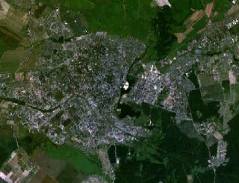
File:Yoshkar-Ola 47.89299E 56.62179N.jpg
No higher resolution available.
Yoshkar-Ola_47.89299E_56.62179N.jpg (474 × 363 pixels, file size: 33 KB, MIME type: image/jpeg)
Captions
Captions
Add a one-line explanation of what this file represents
| This image is in the public domain because it is a screenshot from NASA’s globe software World Wind using a public domain layer, such as Blue Marble, MODIS, Landsat, SRTM, USGS or GLOBE.
|
 |
File history
Click on a date/time to view the file as it appeared at that time.
| Date/Time | Thumbnail | Dimensions | User | Comment | |
|---|---|---|---|---|---|
| current | 17:13, 4 April 2011 | | 474 × 363 (33 KB) | Gajmar (talk | contribs) | Cropped to the boundaries of city |
| 18:37, 19 May 2005 |  | 1,280 × 958 (173 KB) | Rex (talk | contribs) | Yoshkar-Ola, Russia {{World Wind}} Category:Maps of Russia |
You cannot overwrite this file.
File usage on Commons
The following page uses this file:
File usage on other wikis
The following other wikis use this file:
- Usage on azb.wikipedia.org
- Usage on es.wikipedia.org
- Usage on id.wikipedia.org
- Usage on nl.wikipedia.org
- Usage on ru.wikipedia.org
- Usage on zh.wikipedia.org