Category:1776 maps of the United States
States of the United States: Delaware · Massachusetts · New Jersey · New York · Pennsylvania · Virginia
Subcategories
This category has the following 9 subcategories, out of 9 total.
-
D
- 1776 maps of Delaware (2 F)
M
N
- 1776 maps of New Jersey (34 F)
- 1776 maps of New York (state) (46 F)
P
V
- 1776 maps of Virginia (4 F)
Media in category "1776 maps of the United States"
The following 36 files are in this category, out of 36 total.
-
 1776NY300dpi.jpg 3,897 × 5,343; 13.66 MB
-
 1776NY600dpiResize.pdf 500 × 689; 29.02 MB
-
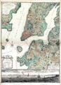
 1776NYC 1.jpeg 3,256 × 6,040; 7.09 MB
-
-

-

-
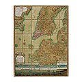
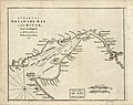 A chart of Delaware Bay and River - from the original LOC 2013593289.jpg 3,130 × 2,479; 1.22 MB
-

-
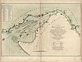
 A chart of the harbour of Rhode Island and Narraganset Bay (3045761151).jpg 1,381 × 2,000; 2.44 MB
-
-
-

-

-

-

-

-

-

-

-
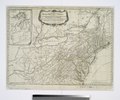
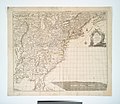
 A general map of the southern British colonies, in America (2675154484).jpg 2,000 × 1,567; 3.08 MB
-
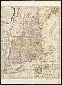
 A map of Connecticut and Rhode Island with Long Island Sound, etc. LOC 99466764.jpg 2,790 × 2,368; 1.36 MB
-
-

-

-

-

-

-

-
-

-
-
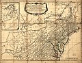
 A general map of the southern British colonies in America (NYPL b20643836-5404010).jpg 8,679 × 6,982; 53.27 MB
-
 A general map of the southern British colonies in America (NYPL b20643836-5404010).tiff 10,328 × 7,760, 2 pages; 229.57 MB
-
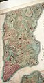
 Plan of the City of New York by Bernard Ratzer, 1767.jpg 8,192 × 8,192; 11.81 MB
-
 Ratzer lower Manhattan 2.jpg 5,435 × 3,684; 9.02 MB
-
 United States Central change 1776-07-04.png 2,046 × 1,321; 273 KB


.jpg)


.jpg)


.jpg)


.jpg)
.jpg)
.jpg)
.jpg)
.jpg)
.jpg)


.jpg)