Category:1850s maps of the Habsburg Monarchy
Subcategories
This category has the following 6 subcategories, out of 6 total.
Media in category "1850s maps of the Habsburg Monarchy"
This category contains only the following file.
-
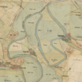 Map of Cibakháza and the Tisza-bend after 1850.png 3,794 × 3,802; 18.18 MB
