Category:Maps of Alytus District Municipality
Subcategories
This category has the following 3 subcategories, out of 3 total.
D
- Daugai in maps (5 F)
S
- Simnas in maps (5 F)
Media in category "Maps of Alytus District Municipality"
The following 7 files are in this category, out of 7 total.
-
 Alytaus rajono savivaldybė.svg 1,093 × 773; 207 KB
-
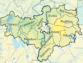
 Alytaus rajono zemelapis.png 1,194 × 841; 219 KB
-
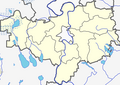
 AlytausRajonoSeniunijos.png 725 × 547; 332 KB
-
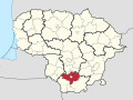 Alytus district in Lithuania.svg 1,095 × 821; 524 KB
-
 Alytus district location.png 623 × 503; 20 KB
-
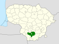 Alytus district location.svg 1,095 × 821; 117 KB
-
 Alytus dst.svg 1,000 × 800; 717 KB


