Category:Maps of Buzignargues
Wikimedia category | |||||
| Upload media | |||||
| Instance of | |||||
|---|---|---|---|---|---|
| Category combines topics | |||||
| Buzignargues | |||||
commune in Hérault, France  .svg)  | |||||
| Instance of | |||||
| Location | |||||
| Population |
| ||||
| Area |
| ||||
| Elevation above sea level |
| ||||
| official website | |||||
 | |||||
Media in category "Maps of Buzignargues"
The following 9 files are in this category, out of 9 total.
-
 34043-Buzignargues-argile.jpg 3,057 × 2,480; 377 KB
-
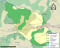
 34043-Buzignargues-Natura2000.png 5,846 × 4,133; 4.78 MB
-
 34043-Buzignargues-Natura2000b.png 7,015 × 4,960; 5.1 MB
-
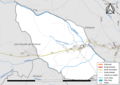 34043-Buzignargues-Routes-Hydro.png 3,507 × 2,480; 1.44 MB
-
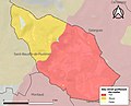
 34043-Buzignargues-Sols.png 3,270 × 2,598; 1.41 MB
-
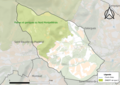
 34043-Buzignargues-ZNIEFF1.png 3,519 × 2,480; 2.64 MB
-
 34043-Buzignargues-ZNIEFF2.png 3,519 × 2,480; 2.64 MB
-
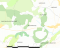 Map commune FR insee code 34043.png 756 × 605; 41 KB
-


