Category:Maps of Mouret (Aveyron)
Wikimedia category | |||||
| Upload media | |||||
| Instance of | |||||
|---|---|---|---|---|---|
| Category combines topics | |||||
| Mouret | |||||
commune in Aveyron, France  .svg) _OSM_01.png) | |||||
| Instance of | |||||
| Location |
| ||||
| Population |
| ||||
| Area |
| ||||
| Elevation above sea level |
| ||||
| official website | |||||
 | |||||
Media in category "Maps of Mouret (Aveyron)"
The following 12 files are in this category, out of 12 total.
-
 12161-Mouret-Arron.png 3,057 × 2,480; 1.25 MB
-
 12161-Mouret-cadastre.svg 961 × 744; 6.28 MB
-
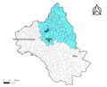
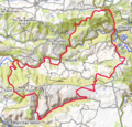
 12161-Mouret-Canton.png 3,057 × 2,480; 1.25 MB
-
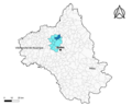
 12161-Mouret-EPCI.png 3,057 × 2,480; 1.26 MB
-
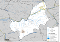
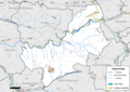 12161-Mouret-Hydro.png 3,519 × 2,480; 2.48 MB
-
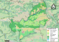 12161-Mouret-Sols.png 3,507 × 2,480; 2.95 MB
-
 12161-Mouret-ZNIEFF1.png 3,519 × 2,480; 2.22 MB
-
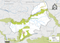 12161-Mouret-ZNIEFF2.png 3,519 × 2,480; 2.13 MB
-
 12161-Mouret-Zone inondable.svg 1,070 × 744; 3.83 MB
-
 Map commune FR insee code 12161.png 756 × 605; 62 KB
-
 Mouret (Aveyron) OSM 01.png 365 × 350; 87 KB
-
 Mouret (Aveyron) OSM 02.png 365 × 350; 177 KB


_OSM_02.png)