Category:Maps of Serra-di-Fiumorbo
Wikimedia category | |||||
| Upload media | |||||
| Instance of | |||||
|---|---|---|---|---|---|
| Category combines topics | |||||
| Serra-di-Fiumorbo | |||||
commune in Haute-Corse, France   | |||||
| Instance of | |||||
| Location |
| ||||
| Head of government |
| ||||
| Population |
| ||||
| Area |
| ||||
| Elevation above sea level |
| ||||
 | |||||
Media in category "Maps of Serra-di-Fiumorbo"
The following 3 files are in this category, out of 3 total.
-
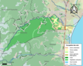
 2B277-Serra-di-Fiumorbo-Hydro.jpeg 5,846 × 4,133; 2.62 MB
-
 2B277-Serra-di-Fiumorbo-Sols.png 3,270 × 2,598; 2.31 MB
-
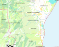 Map commune FR insee code 2B277.png 756 × 605; 84 KB


