Category:Maps showing 1919
| ← 1910 1911 1912 1913 1914 1915 1916 1917 1918 1919→ |
English: Maps showing the year 1919 (i.e. history maps)
See also category: 1919 maps. and 1910s maps for more maps showing this year usually created not long after the given year.
See also category: 1919 maps. and 1910s maps for more maps showing this year usually created not long after the given year.
Subcategories
This category has only the following subcategory.
Media in category "Maps showing 1919"
The following 11 files are in this category, out of 11 total.
-
 1919 Winnipeg General Strike a Driving and Walking Tour (1985) (2110422945).jpg 3,043 × 3,223; 5.67 MB
-
 Albania in 1919.png 520 × 635; 443 KB
-
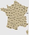 Départements 1919.jpg 945 × 1,122; 115 KB
-
Evolution of United States standard time zone boundaries.webm 29 s, 3,507 × 2,480; 4.58 MB
-
 Flag-map of Hungarian Soviet Republic.svg 303 × 202; 18 KB
-
 LSSR-1919.svg 4,323 × 4,157; 277 KB
-
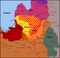
 PL-RU war 1919 phase II-es.svg 5,416 × 4,237; 315 KB
-
 RepúblicaSoviéticaHúngara1919.svg 652 × 516; 305 KB
-
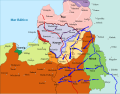
 Russian State (1 Jan 1919).png 6,171 × 6,171; 2.64 MB
-
 South Russia (1919–1920).png 924 × 948; 89 KB
-
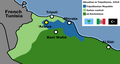 Tripolitanian Rep.png 1,251 × 669; 54 KB
_(2110422945).jpg)


.png)
.png)
