Category:Maps showing 1940
| ← 1940 1941 1942 1943 1944 1945 1946 1947 1948 1949→ |
English: Maps showing the year 1940 (i.e. history maps)
See also category: 1940 maps. and 1940s maps for more maps showing this year usually created not long after the given year.
See also category: 1940 maps. and 1940s maps for more maps showing this year usually created not long after the given year.
Subcategories
This category has the following 2 subcategories, out of 2 total.
M
U
Media in category "Maps showing 1940"
The following 15 files are in this category, out of 15 total.
-
 Black Americans 1940 County.png 15,610 × 8,900; 11.5 MB
-
 Flag map of the Kingdom of Italy (1940).svg 2,841 × 2,051; 173 KB
-

-

-
-
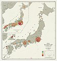
 Japan sex ratios, 1940 by gun - Department of State, Map Division - btv1b53196940d.jpg 7,734 × 8,668; 4.86 MB
-
 Japanese Occupation of China 1940 (Chongqing).png 1,119 × 857; 437 KB
-
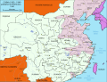 Japanese Occupation of China 1940 de.svg 1,119 × 857; 217 KB
-
 Japanese Occupation of China 1940.svg 1,119 × 857; 284 KB
-
-
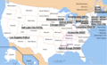
 Map of US Murder Rate in 1940.svg 600 × 400; 272 KB
-
 OcupaciónJaponesaDeChina1940.svg 1,124 × 865; 1.05 MB
-
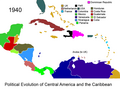 Political Evolution of Central America and the Caribbean 1940 na.png 1,000 × 750; 123 KB
-
 Political Evolution of Central America and the Caribbean 1940.png 1,000 × 750; 152 KB
-
 White Americans 1940 County.png 15,610 × 8,900; 10.45 MB

.svg)


.png)


