Category:Sowjetischer Ehrenfriedhof Elsterwerda
| Object location | | View all coordinates using: OpenStreetMap |
|---|
cemetery in Elsterwerda, Germany | |||||
| Upload media | |||||
| Instance of | |||||
|---|---|---|---|---|---|
| Location | Elsterwerda, Elbe-Elster District, Brandenburg, Germany | ||||
| Heritage designation | |||||
 | |||||
This is the category of the Brandenburger Baudenkmal (cultural heritage monument) with the ID 09135380 (Wikidata)
|
Media in category "Sowjetischer Ehrenfriedhof Elsterwerda"
The following 14 files are in this category, out of 14 total.
-
 Ehrenfriedhof Aerial Mai 2008 a.jpg 1,201 × 782; 338 KB
-
 Ehrenfriedhof Aerial Mai 2008 b.jpg 1,200 × 429; 550 KB
-
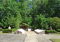 Ehrenfriedhof Elsterwerda P1090488 Baustelle 2017.jpg 2,915 × 2,038; 1.42 MB
-
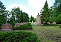
 Ehrenfriedhof Elsterwerda P1090490 Östlicher Teil 2017.jpg 3,185 × 2,246; 1.62 MB
-
 Ehrenfriedhof Elsterwerda P1090494 Oestlicherteil b.jpg 2,075 × 1,455; 702 KB
-
 Ehrenfriedhof Elsterwerda P1090494 Oestlicherteil.jpg 3,163 × 2,159; 1.6 MB
-
 Ehrenfriedhof Elsterwerda P1090498 Westlicher Teil 2017.jpg 2,090 × 1,412; 763 KB
-
 Ehrenfriedhof Elsterwerda P1090498 Westlicher Teil.jpg 3,129 × 1,975; 1.62 MB
-
 Ehrenfriedhof Elsterwerda P1090521 Westlicher Teil.jpg 4,608 × 3,456; 4.14 MB
-
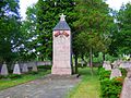
 Ehrenfriedhof Elsterwerda P1090538 Östlicher Obelisk.jpg 3,339 × 3,288; 1.89 MB
-
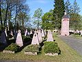
 Ehrenfriedhof Elsterwerda P1090557 Blick in Richtung Osten.jpg 4,543 × 3,145; 2.65 MB
-
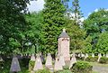
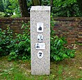 Ehrenfriedhof Elsterwerda P1090820 Stele 2017.jpg 3,122 × 3,041; 2.29 MB
-
 Ehrenmal Eda.jpg 2,560 × 1,920; 1.13 MB
-
 Ehrenmal Eda3.jpg 1,526 × 2,080; 2.13 MB


