File:Řevnice, zadní strana stodoly čp. 4.jpg

Size of this preview: 800 × 600 pixels. Other resolutions: 320 × 240 pixels | 640 × 480 pixels | 1,024 × 768 pixels | 1,280 × 960 pixels | 2,560 × 1,920 pixels | 5,184 × 3,888 pixels.
Original file (5,184 × 3,888 pixels, file size: 6.14 MB, MIME type: image/jpeg)
Captions
Captions
Add a one-line explanation of what this file represents
| Description |
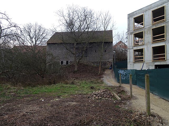
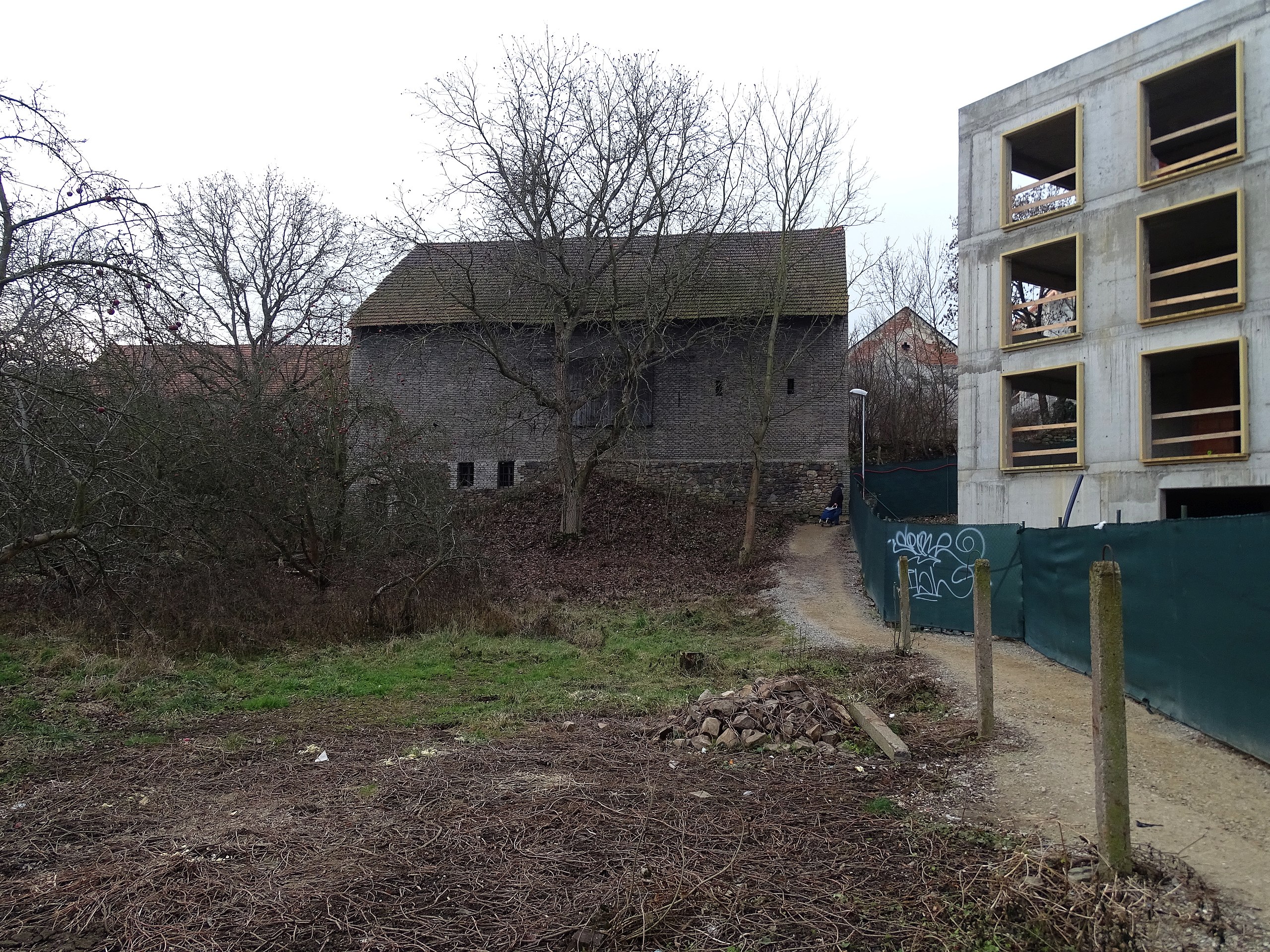
Čeština: Řevnice, okres Praha-západ, spojka Pod Lipami – Náměstí Krále Jiřího z Poděbrad, stodola domu čp. 4.
English: Řevnice, Prague-West District, Central Bohemian Region, Czechia. A backside of the barn of the house no. 4.
|
||||
| Date | Taken on 23 December 2016 | ||||
| Source | Self-photographed | ||||
| Author | ŠJů | ||||
| Permission (Reusing this file) |
I, the copyright holder of this work, hereby publish it under the following license: This file is licensed under the Creative Commons Attribution 4.0 International license. Attribution: ŠJů, Wikimedia Commons
|
File history
Click on a date/time to view the file as it appeared at that time.
| Date/Time | Thumbnail | Dimensions | User | Comment | |
|---|---|---|---|---|---|
| current | 02:31, 27 December 2016 | | 5,184 × 3,888 (6.14 MB) | ŠJů (talk | contribs) | {{Information |Description= {{cs|1=cs:Řevnice, cs:okres Praha-západ, spojka Pod Lipami – Náměstí Krále Jiřího z Poděbrad, stodola domu čp. 4.}} {{en|1=en:Řevnice, en:Prague-West District, [[:en:Central Bohemian Regi... |
You cannot overwrite this file.
File usage on Commons
There are no pages that use this file.