File:03450jfRosario La Union Sison Pangasinan Roads Church Landmarksfvf 05.JPG
Size of this preview: 800 × 600 pixels. Other resolutions: 320 × 240 pixels | 640 × 480 pixels | 1,024 × 768 pixels | 1,280 × 960 pixels | 2,560 × 1,920 pixels | 4,608 × 3,456 pixels.
Original file (4,608 × 3,456 pixels, file size: 6.56 MB, MIME type: image/jpeg)
Captions
Captions
Add a one-line explanation of what this file represents
Summary
edit
| Description |
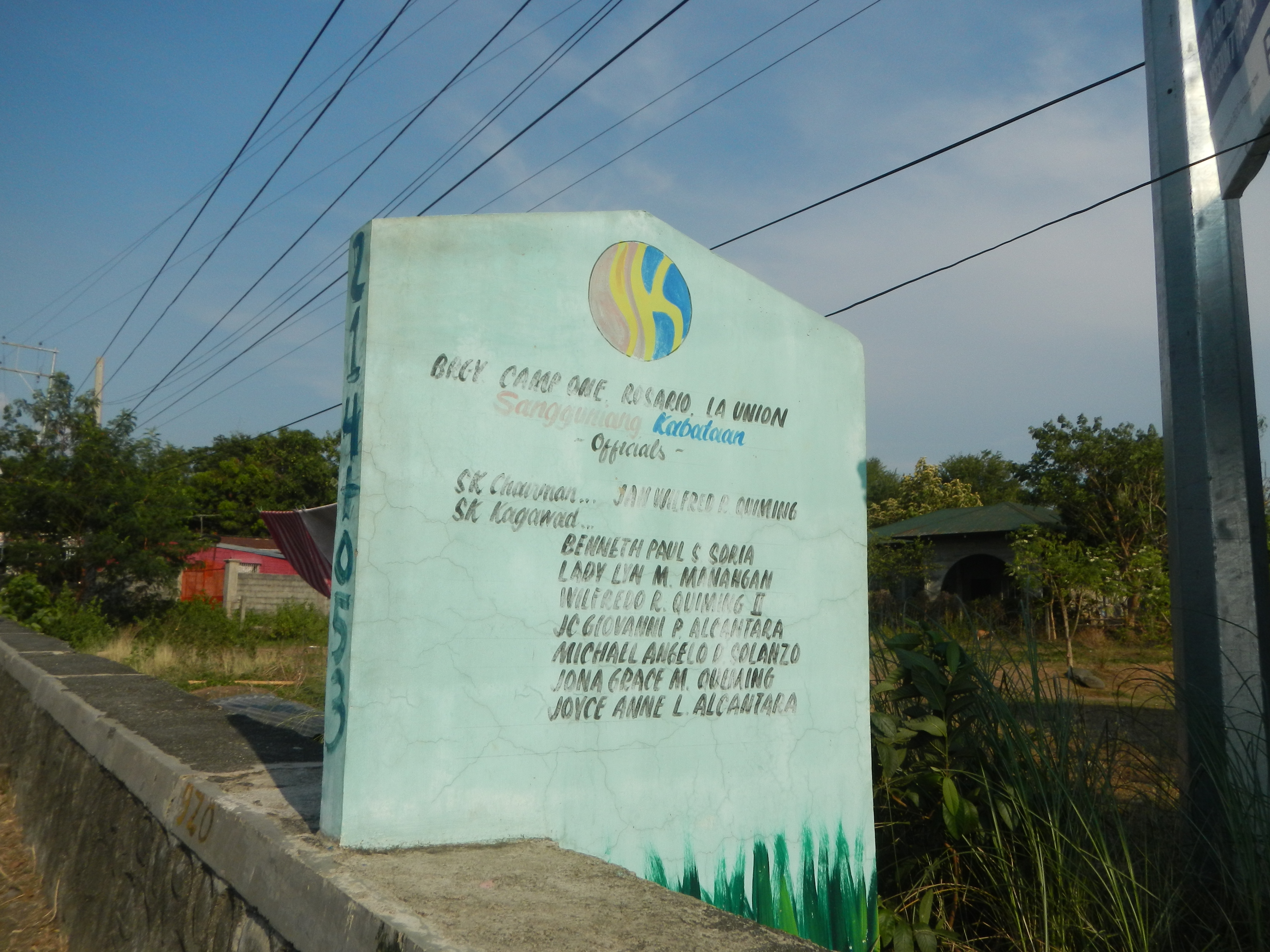
English: Rosario Tricycle Terminal Subusub, Rosario, La Union Subusub Junction Saytan Bridge K0 213+645 Camp One, Rosario, La Union Rosario-Pugo Road (Camp-One-Bangar, Rosario & Saytan, Pugo section) Maintenance of Kennon Road K0 214+(-613) - K0214+(-113) P 4.854 million Iglesia Ni Cristo churches in Rosario, La Union Bangar, Rosario, La Union Saytan, Pugo, La Union Welcome-border arch-signs of Benguet Mountain Province & La Union Province Welcome-border arch-signs of Benguet Province (Camp 1, Tabaan Sur, Tuba) & La Union (Saytan, Pugo) Bued River Basin (Pugo, La Union - Tuba, Benguet) Bued River System Kennon Road (Camp 1, Tabaan Sur, Tuba, Benguet) K0 214+(-613) - K0216+158 Rehabilitation of the Flood Mitigation Structure along Bued River Basin in Camp 1, Tabaan Sur, Tuba, Benguet P 143.303 million Welcome signs of Kennon National Toll Road Camp One, Rosario, La Union Jollibee restaurants in Rosario, La Union Pugo–Rosario Road Category:Sitios and puroks of the Philippines Subdivisions of the Philippines List of barangays in La Union Barangays Subusub, Rosario, La Union 16.2259, 120.4962 Tay‑ac, Rosario, La Union 16.2232, 120.4846 Camp One, Rosario, La Union 16.2259, 120.4962 Bangar, Rosario, La Union 16.2338, 120.5038 Rosario, La Union, La Union province bounded or along the La Union Benguet boundary Barangay Tabaan Sur 16.2902, 120.5351 Tuba, Benguet located at at the south-western tip of both Benguet and the Cordillera Central (Luzon) surrounded served by the Bued River River valleys La Union 2nd District Engineering Office–Benguet 1st Engineering Office highway boundary Ilocos Region Cordillera Administrative Region boundary La Union Benguet boundary to
Kennon Road roadway in Benguet (formerly the Benguet Road or Rosario–Baguio Road) part of National Route 54 (N54) of the Philippine highway network accessed from Roundabout Pugo–Rosario Road MacArthur Highway Subusub Rotunda (Pugo–Rosario Road-TPLEx access road) Tarlac–Pangasinan–La Union Expressway Section 3B (Sison-Rosario section) Tarlac–Pangasinan–La Union Expressway to North Luzon Expressway and SCTex from MacArthur Highway (Rosales, Pangasinan section) to MacArthur Highway (Pozorrubio, Pangasinan section) to MacArthur Highway (Sison, Pangasinan section) and MacArthur Highway (Rosario, La Union section) of the MacArthur Highway or Manila North Road) Philippine highway network (Note: Judge Florentino Floro, the owner, to repeat, Donor Florentino Floro of all these photos hereby donate gratuitously, freely and unconditionally Judge Floro all these photos to and for Wikimedia Commons, exclusively, for public use of the public domain, and again without any condition whatsoever). |
| Date | |
| Source | Own work |
| Author | Judgefloro |
Licensing
edit
| I, the copyright holder of this work, release this work into the public domain. This applies worldwide. In some countries this may not be legally possible; if so: I grant anyone the right to use this work for any purpose, without any conditions, unless such conditions are required by law. |
File history
Click on a date/time to view the file as it appeared at that time.
| Date/Time | Thumbnail | Dimensions | User | Comment | |
|---|---|---|---|---|---|
| current | 09:40, 29 April 2016 | | 4,608 × 3,456 (6.56 MB) | Judgefloro (talk | contribs) | User created page with UploadWizard |
You cannot overwrite this file.
File usage on Commons
There are no pages that use this file.