File:05346jfMagumbali Fields Paralaya Candaba Pampanga San Miguel roadsfvf 09.jpg

Size of this preview: 800 × 600 pixels. Other resolutions: 320 × 240 pixels | 640 × 480 pixels | 1,024 × 768 pixels | 1,280 × 960 pixels | 2,560 × 1,920 pixels | 4,608 × 3,456 pixels.
Original file (4,608 × 3,456 pixels, file size: 5.82 MB, MIME type: image/jpeg)
Captions
Captions
Add a one-line explanation of what this file represents
Summary
edit
| Description |
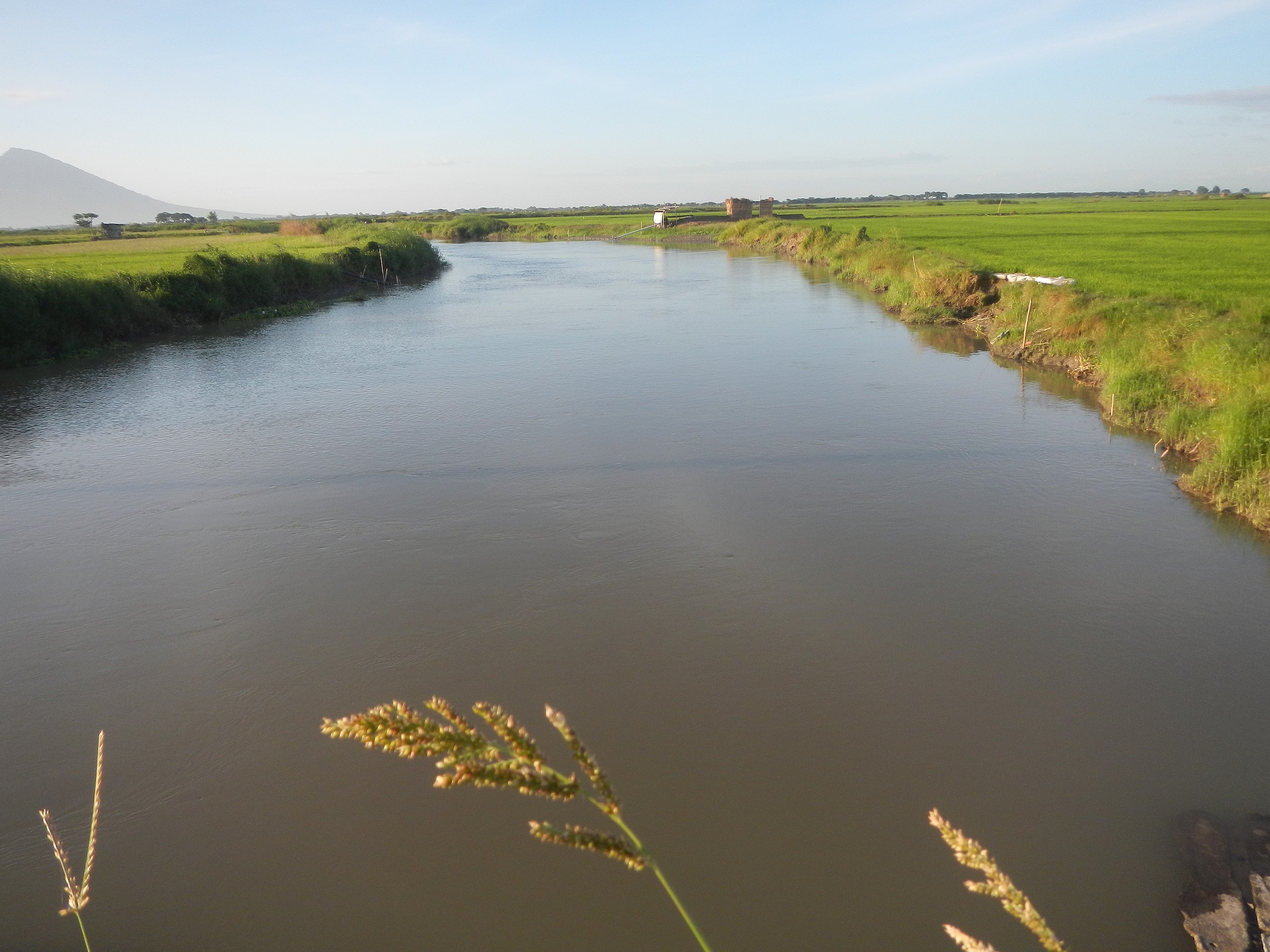
English: Paddy & vegetable fields, grasslands, irrigation, slope protection and bridge (Pampanga River & creek - Magumbali-Paralaya Poblacion, Candaba, Pampanga Provincial Road) of the San Miguel, Bulacan-Candaba, Pampanga Road Magumbali - Paralaya Poblacion, Candaba (Pampanga River: San Miguel, Bulacan-Candaba, Pampanga Road with Slips Slope Collapse and Landslide) San Miguel, Bulacan - Candaba, Pampanga road 15°8'2"N 120°55'29"E P 44.856 million cost of Asset Preservation of National Roads - Rehabilitation, Reconstruction National Roads with Slips Slope Collapse and Landslide along Candaba, Pampanga - San Miguel, Bulacan National Road K0071+200 to K0072+220 K0080+000 to K0081+000 Riprap bourders, Project under Cong. Juan Pablo "Rimpy" Bondoc BM Pol Balingit; Flood Forecasting - Warning System Improvement (Pampanga-Agno River Basins, DOST-PAGASA Weather Bureau Project, Candaba, Pampanga) The Project for Improvement of Flood Forecasting and Warning System in the Pampanga and Agno River Basins; Grant Aid from the People of Japan as token of Friendship and Cooperation between Japan and Philippines, under the DOST-PAGASA Weather Bureau Barangays Salapungan 15°8'8"N 120°55'57"E Magumbali 15°8'30"N 120°53'11"E Paralaya (Poblacion) 15°7'3"N 120°50'51"E Candaba, Pampanga accessed along and from the Maharlika Highway (Cagayan Valley Road, San Miguel, Bulacan section) of the Pan-Philippine Highway, also known as the Maharlika "Nobility/freeman" Highway or Asian Highway 26, Cagayan Valley Road (Note: Judge Florentino Floro, the owner, to repeat, Donor Florentino Floro of all these photos hereby donate gratuitously, freely and unconditionally all these photos to and for Wikimedia Commons, exclusively, for public use of the public domain, and again without any condition whatsoever). |
| Date | |
| Source | Own work |
| Author | Judgefloro |
| Camera location | | View this and other nearby images on: OpenStreetMap |
|---|
Paralaya 15°7'3"N 120°50'51"E
Licensing
edit
I, the copyright holder of this work, hereby publish it under the following license:
| This file is made available under the Creative Commons CC0 1.0 Universal Public Domain Dedication. | |
| The person who associated a work with this deed has dedicated the work to the public domain by waiving all of their rights to the work worldwide under copyright law, including all related and neighboring rights, to the extent allowed by law. You can copy, modify, distribute and perform the work, even for commercial purposes, all without asking permission.
|
File history
Click on a date/time to view the file as it appeared at that time.
| Date/Time | Thumbnail | Dimensions | User | Comment | |
|---|---|---|---|---|---|
| current | 18:34, 27 January 2017 | | 4,608 × 3,456 (5.82 MB) | Judgefloro (talk | contribs) | User created page with UploadWizard |
You cannot overwrite this file.
File usage on Commons
There are no pages that use this file.