File:09303jfAngat Norzagaray Bulacan Park Halls villagesfvf 08.JPG

Size of this preview: 800 × 600 pixels. Other resolutions: 320 × 240 pixels | 640 × 480 pixels | 1,024 × 768 pixels | 1,280 × 960 pixels | 2,560 × 1,920 pixels | 4,608 × 3,456 pixels.
Original file (4,608 × 3,456 pixels, file size: 6.87 MB, MIME type: image/jpeg)
Captions
Captions
Add a one-line explanation of what this file represents
Summary
edit
| Description |
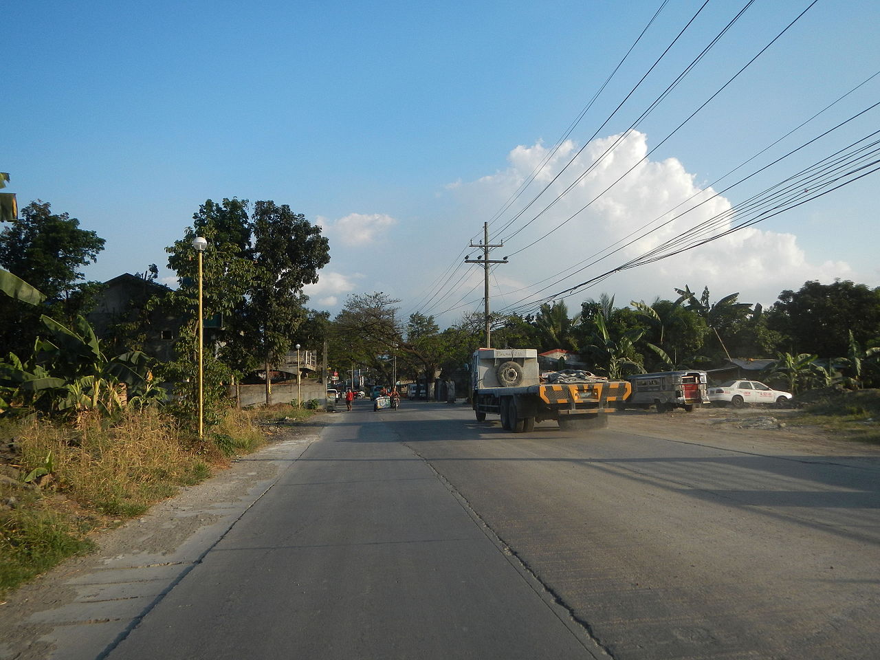
English: Landscape and scenery of Angat River and Sierra Madre (Philippines) upon Doña Remedios Trinidad, Bulacan, Angat, Bulacan and Norzagaray, Bulacan; photos taken in Barangay Santa Cruz, Angat, Bulacan, Bulacan province (along the General Alejo G. Santos Highway (Angat-Norzagaray, Bulacan section) interconnecting with the General Alejo Santos Highway, Bustos-Angat, Bulacan and Bustos-Angat, Bulacan Provincial Road; accessed from Maharlika Highway (Cagayan Valley Road, Baliuag-Pulilan-Guiguinto, Bulacan) Pan-Philippine Highway, also known as the Maharlika "Nobility/freeman" Highway or Asian Highway 26, Cagayan Valley Road). |
| Date | |
| Source | Own work |
| Author | Judgefloro |
Licensing
edit
| I, the copyright holder of this work, release this work into the public domain. This applies worldwide. In some countries this may not be legally possible; if so: I grant anyone the right to use this work for any purpose, without any conditions, unless such conditions are required by law. |
File history
Click on a date/time to view the file as it appeared at that time.
| Date/Time | Thumbnail | Dimensions | User | Comment | |
|---|---|---|---|---|---|
| current | 18:58, 10 March 2016 | | 4,608 × 3,456 (6.87 MB) | Judgefloro (talk | contribs) | User created page with UploadWizard |
You cannot overwrite this file.
File usage on Commons
There are no pages that use this file.