File:105030 nahariya-nahal hagaton scenery on a cloudy day PikiWiki Israel.jpg

Size of this preview: 800 × 600 pixels. Other resolutions: 320 × 240 pixels | 640 × 480 pixels | 1,024 × 768 pixels | 1,280 × 960 pixels | 2,560 × 1,920 pixels | 4,032 × 3,024 pixels.
Original file (4,032 × 3,024 pixels, file size: 3.23 MB, MIME type: image/jpeg)
Captions
Captions
Add a one-line explanation of what this file represents
| Description |
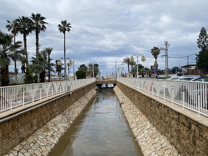
English: Name: Nahariya-Nahal Hagaton scenery on a cloudy day Description: Nahal Hagaton flows out of Naharia in its flow to the sea - and views beside it all the way to the spillway. עברית: שם: נהריה-נופי נחל הגעתון ביום סגריר תיאור: נחל הגעתון החוצה את נהריה בזרימתו לים -ונופים לצידו עד לשפך. הערות: נהר הגעתון סימלה של נהריה ומקור שמה ראשיתו במערב הגליל באיזור מושב מעונה-אורכו כ-20 ק"מ ונישפך לים בחוף נהריה. נהריה הוקמה ב-1935 כמושבה ע"י עולים מגרמניה וכיום עיר המונה כ-80000 נפש- הצפונית בערי החוף בישראל. סבלה משך שנים בחורפים מהצפות הגעתון עד להסדרת זרימתו וניקוזו לפני כשנה. מיקום: הגעתון-נהריה קובץ מקורי: IMG_0839.JPG |
| Date | פברואר 2024 |
| Source | Shlomo Roded via the PikiWiki - Israel free image collection project |
| Author | שלמה רודד |
| Permission (Reusing this file) |
This file is licensed under the Creative Commons Attribution 2.5 Generic license. Attribution: Roded Shlomo Pikiwiki Israel
|

|
This file has been submitted through the Israeli Pikiwiki project and uploaded here automatically.
The project is cooperation between the Israel Internet Association and Wikimedia Israel in an effort to promote the concept of free content on the Web, by creating an image collection of digital-format, good quality photographs, documenting events relating to the history of Israel, or depicting places of distinction in Israel and the Middle East. The Pikiwiki Project is managed from 2021 by the "Heritage Stones" group.
Please consider notifying the project before renaming or deleting this file. Further information about the project can be found on the commons-l mailing list.
|
File history
Click on a date/time to view the file as it appeared at that time.
| Date/Time | Thumbnail | Dimensions | User | Comment | |
|---|---|---|---|---|---|
| current | 13:26, 6 February 2024 | | 4,032 × 3,024 (3.23 MB) | Pikiwikisrael (talk | contribs) |
You cannot overwrite this file.
File usage on Commons
There are no pages that use this file.
File usage on other wikis
The following other wikis use this file:
- Usage on he.wikipedia.org