File:1424Apalen Tatarac, Bayambang 33.jpg

Size of this preview: 800 × 600 pixels. Other resolutions: 320 × 240 pixels | 640 × 480 pixels | 1,024 × 768 pixels | 1,280 × 960 pixels | 2,560 × 1,920 pixels | 4,608 × 3,456 pixels.
Original file (4,608 × 3,456 pixels, file size: 6.42 MB, MIME type: image/jpeg)
Captions
Captions
Apalen Tatarac, Bayambang
Summary edit
| Description |
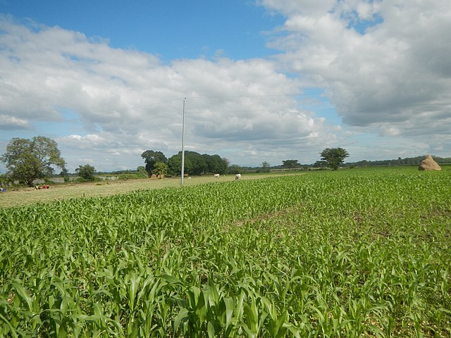
English: Pangdel, Bayambang, Pangasinan Tatarac, Bayambang, Pangasinan Core local access road Nuestro Jesus Nazareno Chapel of Tatarac, Bayambang Apalen-Tatarac Community School Republic Act No. 2842 Tatarac-Apalen Elementary School, Bayambang Apalen, Bayambang, Pangasinan Tatarac-Apalen core local access road Bayambang-Camiling Road (Bayambang) Darawey, Bayambang, Pangasinan Pangdel, Bayambang, Pangasinan Maize fields in Bayambang, Pangasinan Category:Camiling-Wawa-Bayambang-Malasiqui-Santa Barbara Road to Bayambang-Basista-San Carlos Road (Bayambang) Category:Sitios and puroks of the Philippines Subdivisions of the Philippines List of barangays in Pangasinan, Barangays Pangdel, Bayambang, Pangasinan 15.7708, 120.4431 Tatarac, Bayambang, Pangasinan 15°47'19"N 120°25'1"E Apalen, Bayambang, Pangasinan 15.7981, 120.4355 Bayambang, Pangasinan from or along Carmen Junction-Manat Road, KM 172+(-289) - KM 189+250 Barangays Carmen East and Carmen West, Carmen East 15°53'0"N 120°36'18"E Rosales, Pangasinan, Camiling, Tarlac-Bayambang, Malasiqui and San Carlos City, Pangasinan Provincial Road Calasiao, Pangasinan Bayambang, Pangasinan - Malasiqui, Pangasinan - San Carlos City, Pangasinan from or along the MacArthur Highway or Manila North Road Philippine highway network Note: photos taken under weather conditions of Typhoon Pagasa Typhoon Phanfone (2019) (Notes: Judge Florentino Floro, the owner, to repeat, Donor Florentino Floro of all these photos hereby donate gratuitously, freely and unconditionally Judge Floro all these photos to and for Wikimedia Commons, exclusively, for public use of the public domain, and again without any condition whatsoever). |
| Date | Taken on 21 December 2019, 13:11:58 |
| Source | Own work |
| Author | Judgefloro |
| Camera location | | View this and other nearby images on: OpenStreetMap |
|---|
Tatarac, Bayambang, Pangasinan 15°47'19"N 120°25'1"E
Licensing edit
I, the copyright holder of this work, hereby publish it under the following license:
| This file is made available under the Creative Commons CC0 1.0 Universal Public Domain Dedication. | |
| The person who associated a work with this deed has dedicated the work to the public domain by waiving all of their rights to the work worldwide under copyright law, including all related and neighboring rights, to the extent allowed by law. You can copy, modify, distribute and perform the work, even for commercial purposes, all without asking permission.
|
File history
Click on a date/time to view the file as it appeared at that time.
| Date/Time | Thumbnail | Dimensions | User | Comment | |
|---|---|---|---|---|---|
| current | 05:11, 25 December 2019 | | 4,608 × 3,456 (6.42 MB) | Judgefloro (talk | contribs) | User created page with UploadWizard |
You cannot overwrite this file.
File usage on Commons
There are no pages that use this file.