File:1852 Levasseur Map of the Department de la Seine (Paris) - Geographicus - Seine-levasseur-1852.jpg

Size of this preview: 800 × 536 pixels. Other resolutions: 320 × 214 pixels | 640 × 429 pixels | 1,024 × 686 pixels | 1,280 × 857 pixels | 2,560 × 1,714 pixels | 3,500 × 2,344 pixels.
Original file (3,500 × 2,344 pixels, file size: 2.95 MB, MIME type: image/jpeg)
Captions
Captions
Add a one-line explanation of what this file represents
| Dept. de la Seine. | ||||||||||||||||||||||||||||||||||||
|---|---|---|---|---|---|---|---|---|---|---|---|---|---|---|---|---|---|---|---|---|---|---|---|---|---|---|---|---|---|---|---|---|---|---|---|---|
| Artist |
|
|||||||||||||||||||||||||||||||||||
| Title |
Dept. de la Seine. |
|||||||||||||||||||||||||||||||||||
| Description |
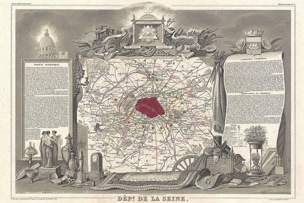
English: This is a fascinating 1852 map of the French department of Seine. Focusing on Paris, this map covers from the Foret de St. Germain to the Bois Notre Dame and from Versailles to Chelles. Shows the city walls as well as the ring of fortifications completed in 1848. The embastillement of Paris was perhaps the most extravagant waste of resources of the July Monarchy. The whole is surrounded by elaborate decorative engravings designed to illustrate the cultural wealth of the region. There is a short textual history of Seine on both the left and right sides of the map. Published by V. Levasseur in the 1852 edition of his Atlas National de la France Illustree. |
|||||||||||||||||||||||||||||||||||
| Date | 1852 (undated) | |||||||||||||||||||||||||||||||||||
| Dimensions | height: 12.5 in (31.7 cm); width: 17.5 in (44.4 cm) | |||||||||||||||||||||||||||||||||||
| Accession number |
Geographicus link: Seine-levasseur-1852 |
|||||||||||||||||||||||||||||||||||
| Source/Photographer |
Levassuer, V., Atlas National Illustre des 86 Departements et des Possessions de La France Divise par Arrondissements, Cantons et Communea avec La Trace de Toutes Les Routes, Chemins,de fer et Canaux., 1852 edition.
|
|||||||||||||||||||||||||||||||||||
| Permission (Reusing this file) |
|
|||||||||||||||||||||||||||||||||||
| Other versions |
File:Dépt. de la Seine (région du nord) - Fonds Ancely - B315556101 A LEVASSEUR 075.jpg |
|||||||||||||||||||||||||||||||||||
_-_Geographicus_-_Seine-levasseur-1852_(d%C3%A9tail).jpg)
_-_Fonds_Ancely_-_B315556101_A_LEVASSEUR_075.jpg)
File history
Click on a date/time to view the file as it appeared at that time.
| Date/Time | Thumbnail | Dimensions | User | Comment | |
|---|---|---|---|---|---|
| current | 03:48, 24 March 2011 | | 3,500 × 2,344 (2.95 MB) | BotMultichillT (talk | contribs) | {{subst:User:Multichill/Geographicus |link=http://www.geographicus.com/P/AntiqueMap/Seine-levasseur-1852 |product_name=1852 Levasseur Map of the Department de la Seine (Paris) |map_title=Dept. de la Seine. |description=This is a fascinating 1852 map of th |
You cannot overwrite this file.
File usage on Commons
The following 2 pages use this file:
_-_Geographicus_-_Seine-levasseur-1852.jpg)
File usage on other wikis
The following other wikis use this file:
- Usage on fr.wikipedia.org
_-_Geographicus_-_Seine-levasseur-1852.jpg&oldid=745844153)