File:1862 Johnson Map of Florida - Geographicus - FL-johnson-1862.jpg
Size of this preview: 743 × 599 pixels. Other resolutions: 298 × 240 pixels | 595 × 480 pixels | 952 × 768 pixels | 1,270 × 1,024 pixels | 2,539 × 2,048 pixels | 4,000 × 3,226 pixels.
Original file (4,000 × 3,226 pixels, file size: 3.93 MB, MIME type: image/jpeg)
Captions
Captions
Add a one-line explanation of what this file represents
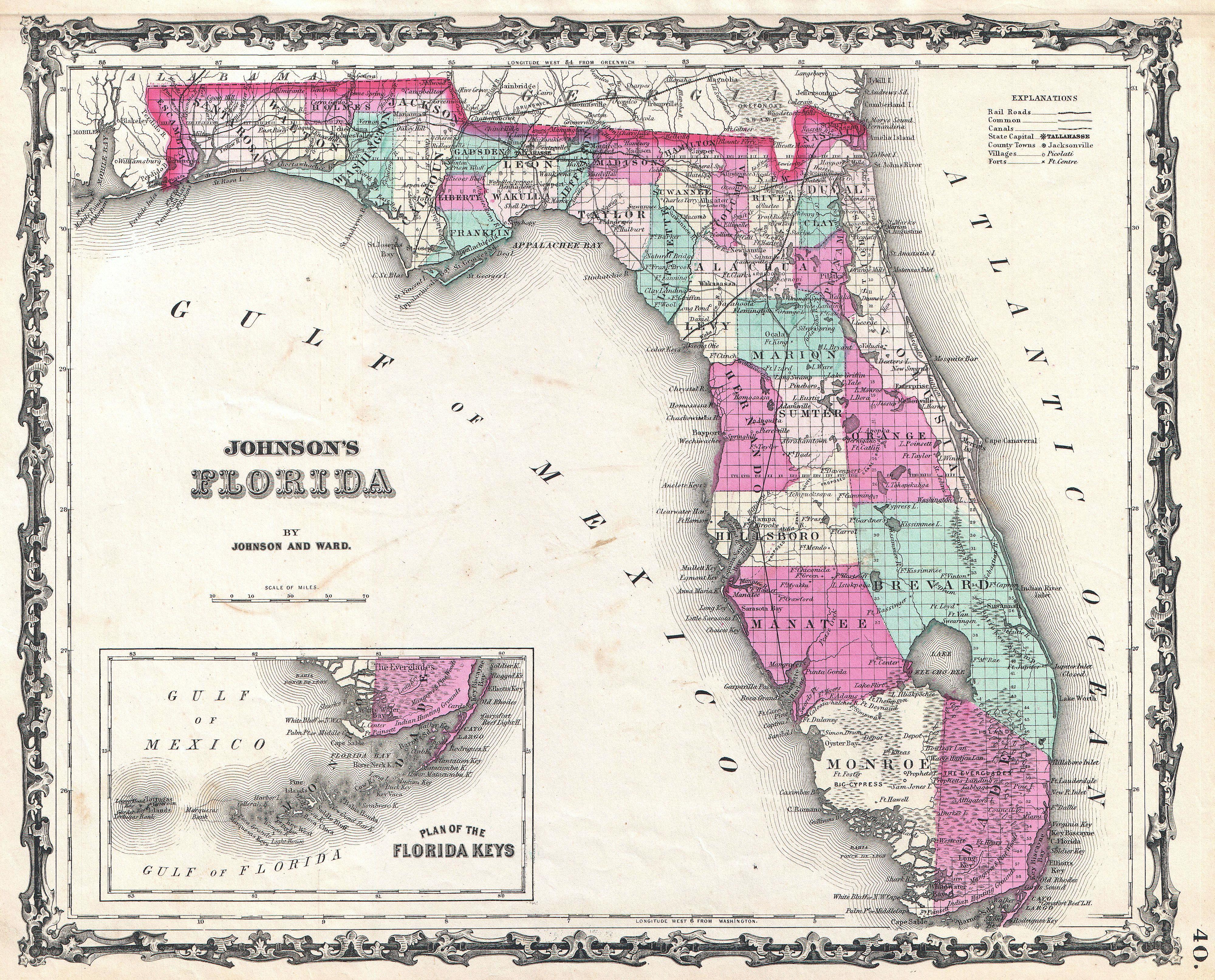
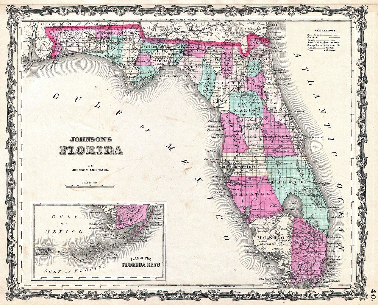
| Alvin Jewett Johnson: Johnson's Florida.
( |
|||||||||||||||||||||||
|---|---|---|---|---|---|---|---|---|---|---|---|---|---|---|---|---|---|---|---|---|---|---|---|
| Artist |
|
||||||||||||||||||||||
| Title |
Johnson's Florida. |
||||||||||||||||||||||
| Description |
English: A beautiful example of A. J. Johnson’s 1862 map of Florida. This rare map offers a fascinating snapshot of this secessionist state shortly following the outbreak of the American Civil War. Map shows the state in full with color coding according to county. Cartographically this map is probably based on U.S. Land Survey charts commissioned in the mid 1850s. Makes numerous references to American Indian tribes and to forts and battles sites related to the Seminole Wars. Notes Lake Okeechobee, the Everglades, the Indian Hunting Grounds, Biscayne Bay, Tampa Bay and the Okefenokee Swamp. Also shows the course of a proposed canal route leading from Tampa to the Atlantic. The Arredondo Grant is included just to the west of St. Augustine. The Arredondo Grant was a layover of the Spanish Land Grant program, which bequeathed it to a powerful Spanish merchant - Arredondo. With incredible difficulty and protest, the land grants were dissolved when Florida became part of the United States. An inset map in the lower left hand quadrant details the Florida Keys. Features the strapwork style border common to Johnson’s atlas work from 1860 to 1863. Published by A. J. Johnson and Ward as plate number 40 in the 1862 edition of Johnson’s New Illustrated Family Atlas . |
||||||||||||||||||||||
| Date | 1862 (undated) | ||||||||||||||||||||||
| Dimensions | height: 12.5 in (31.7 cm); width: 16 in (40.6 cm) | ||||||||||||||||||||||
| Accession number |
Geographicus link: FL-johnson-1862 |
||||||||||||||||||||||
| Source/Photographer |
Johnson, A. J., Johnson's New Illustrated (Steel Plate) Family Atlas with Descriptions, Geographical, Statistical, and Historical. (1862 A. J. Johnson & Ward edition)
|
||||||||||||||||||||||
| Permission (Reusing this file) |
|
||||||||||||||||||||||
File history
Click on a date/time to view the file as it appeared at that time.
| Date/Time | Thumbnail | Dimensions | User | Comment | |
|---|---|---|---|---|---|
| current | 21:09, 22 March 2011 | | 4,000 × 3,226 (3.93 MB) | BotMultichillT (talk | contribs) | {{subst:User:Multichill/Geographicus |link=http://www.geographicus.com/P/AntiqueMap/FL-johnson-1862 |product_name=1862 Johnson Map of Florida |map_title=Johnson's Florida. |description=A beautiful example of A. J. Johnson’s 1862 map of Florida. This ra |
You cannot overwrite this file.
File usage on Commons
The following page uses this file: