File:1873 Asher Adams Map of the Midwest ( Ohio, Indiana, Illinois, Missouri, Kentucky ) - Geographicus - INILOHMOKTTN-aa-1873.jpg
Original file (2,750 × 1,985 pixels, file size: 1.72 MB, MIME type: image/jpeg)
Captions
Captions
| New Topographical Atlas and Gazetteer of Indiana, Ohio, Indiana, Illinois, Missouri, Kentucky, Tennessee. | ||||||
|---|---|---|---|---|---|---|
| Artist | ||||||
| Title |
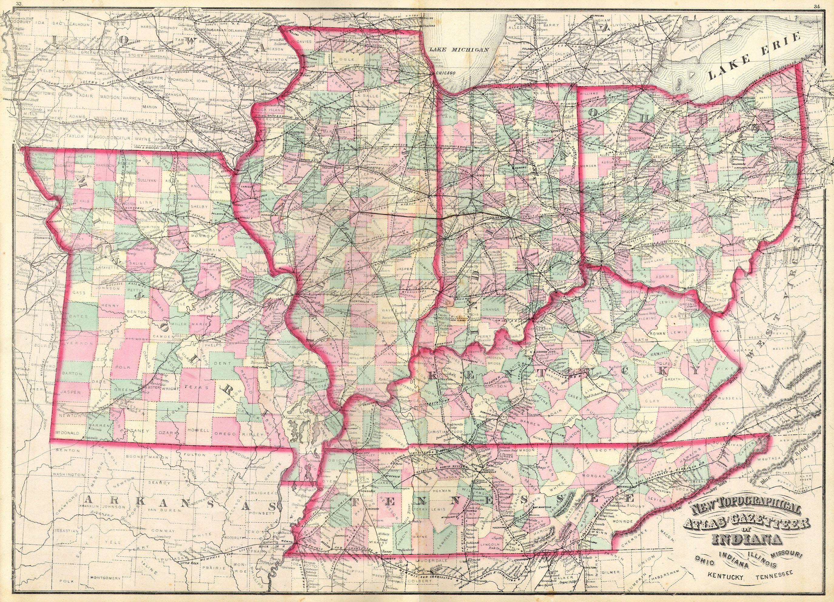
New Topographical Atlas and Gazetteer of Indiana, Ohio, Indiana, Illinois, Missouri, Kentucky, Tennessee. |
|||||
| Description |
English: This is an 1874 Asher & Adams hand colored map of the Midwest and Central states of Ohio, Indiana, Illinois, Missouri, Kentucky and Tennessee. |
|||||
| Date | 1873 | |||||
| Dimensions | height: 17 in (43.1 cm); width: 23 in (58.4 cm) | |||||
| Accession number |
Geographicus link: INILOHMOKTTN-aa-1873 |
|||||
| Source/Photographer |
|
|||||
| Permission (Reusing this file) |
|
|||||
File history
Click on a date/time to view the file as it appeared at that time.
| Date/Time | Thumbnail | Dimensions | User | Comment | |
|---|---|---|---|---|---|
| current | 08:47, 16 March 2011 | | 2,750 × 1,985 (1.72 MB) | BotMultichill (talk | contribs) | {{subst:User:Multichill/Geographicus |link=http://www.geographicus.com/P/AntiqueMap/INILOHMOKTTN-aa-1873 |product_name=1873 Asher Adams Map of the Midwest ( Ohio, Indiana, Illinois, Missouri, Kentucky ) |map_title=New Topographical Atlas and Gazetteer of |
You cannot overwrite this file.
File usage on Commons
The following page uses this file:
_-_Geographicus_-_INILOHMOKTTN-aa-1873.jpg)
_-_Geographicus_-_INILOHMOKTTN-aa-1873.jpg&oldid=877707254)