File:2908Bayambang Basista Boundary Pangasinan 17.jpg

Size of this preview: 800 × 600 pixels. Other resolutions: 320 × 240 pixels | 640 × 480 pixels | 1,024 × 768 pixels | 1,280 × 960 pixels | 2,560 × 1,920 pixels | 4,608 × 3,456 pixels.
Original file (4,608 × 3,456 pixels, file size: 6.85 MB, MIME type: image/jpeg)
Captions
Captions
Bayambang Basista Boundary Pangasinan
Summary
edit
| Description |
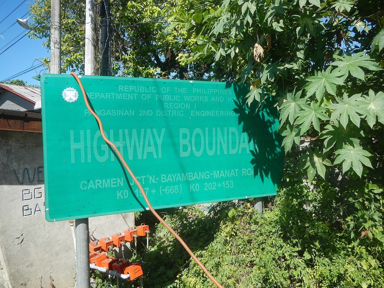
English: Welcome-boundary arch-signs of Bayambang (Malimpec) in Basista (Malimpec), Pangasinan The 5th Capital of the Philippines during the Revolutionary Government of Emilio Aguinaldo Highway Boundary Carmen Junction-Bayambang-Manat Road K0 197+ (-668) K0 202+153 K0 196+328 Malimpec, Basista, Pangasinan Bayambang-Basista-San Carlos City Road (Basista) Bayambang-Basista-San Carlos City Road (Bayambang) Poblacion, Basista, Pangasinan
Magsaysay Road Basista Municipal Hall Complex R. A. 4866 Independence and Confirmation Gates September 5, 1961 May 8, 1967 Jose Rizal Monument in Basista, Pangasinan Category:Sitios and puroks of the Philippines Subdivisions of the Philippines List of barangays in Pangasinan, Barangays Poblacion, Basista, Pangasinan 15.8559, 120.4104 Malimpec East, Basista, Pangasinan 15.8489, 120.4160 Basista, Pangasinan Bayambang-Basista Road Pangasinan to Carmen Junction-Bayambang-Manat Road served by the Agno River (Bayambang) Bayambang Agno River Category:Sitios and puroks of the Philippines Subdivisions of the Philippines List of barangays in Pangasinan, Barangay Malimpec, Bayambang, Pangasinan 15.8421, 120.4159 Bayambang, Pangasinan along Carmen Junction-Manat Road, KM 172+(-289) - KM 189+250 Barangays Carmen East and Carmen West, Carmen East 15°53'0"N 120°36'18"E Rosales, Pangasinan from or along the MacArthur Highway or Manila North Road Philippine highway network (Note: Judge Florentino Floro, the owner, to repeat, Donor Florentino Floro of all these photos hereby donate gratuitously, freely and unconditionally Judge Floro all these photos to and for Wikimedia Commons, exclusively, for public use of the public domain, and again without any condition whatsoever). |
| Date | |
| Source | Own work |
| Author | Judgefloro |
| Camera location | | View this and other nearby images on: OpenStreetMap |
|---|
Malimpec East, Basista, Pangasinan 15.8489, 120.4160
Licensing
edit
I, the copyright holder of this work, hereby publish it under the following license:
| This file is made available under the Creative Commons CC0 1.0 Universal Public Domain Dedication. | |
| The person who associated a work with this deed has dedicated the work to the public domain by waiving all of their rights to the work worldwide under copyright law, including all related and neighboring rights, to the extent allowed by law. You can copy, modify, distribute and perform the work, even for commercial purposes, all without asking permission.
|
File history
Click on a date/time to view the file as it appeared at that time.
| Date/Time | Thumbnail | Dimensions | User | Comment | |
|---|---|---|---|---|---|
| current | 07:40, 10 December 2019 | | 4,608 × 3,456 (6.85 MB) | Judgefloro (talk | contribs) | User created page with UploadWizard |
You cannot overwrite this file.
File usage on Commons
There are no pages that use this file.