File:2991Santo Tomas Agoo, La Union Barangays Border 06.jpg

Size of this preview: 800 × 600 pixels. Other resolutions: 320 × 240 pixels | 640 × 480 pixels | 1,024 × 768 pixels | 1,280 × 960 pixels | 2,560 × 1,920 pixels | 4,608 × 3,456 pixels.
Original file (4,608 × 3,456 pixels, file size: 6.68 MB, MIME type: image/jpeg)
Captions
Captions
Santo Tomas Agoo, La Union Barangays Border
Summary edit
| Description |
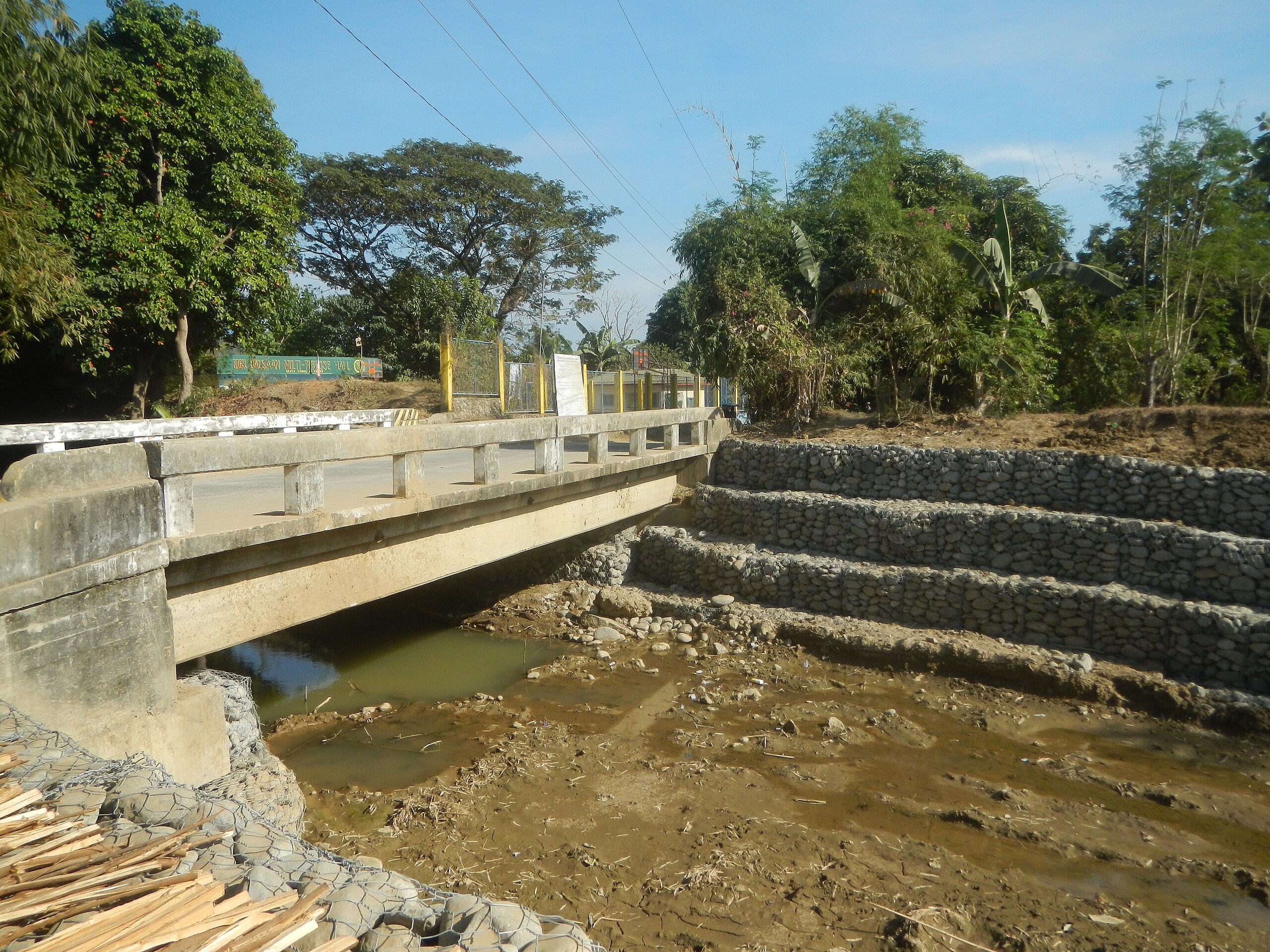
English: Balsaan, Santo Tomas, La Union Balsaan Bridge Abutment protection P 2.492 million Tococ, Santo Tomas, La Union Tococ Elementary School, Santo Tomas Tococ Bridge, Santo Tomas San Roque East, Agoo, La Union Sitio Ipes Goats in the Philippines eating mango Cases-San Roque Provincial Road Banaoag RCDG Bridge, Agoo Fish ponds in Agoo, La Union San Roque West, Agoo, La Union Sitio Ipes Purok-San Roque farm-to-market road Antonino-Milanes Road Paddy fields in Agoo, La Union Fish ponds in Santo Tomas, La Union from or along MacArthur Highway (Santo Tomas, La Union section) from or along the Rabon-Damortis Road K0404+(-920) - K0407+243 and K0403+020 - K0407+271 La Union 2nd District Engineering Office from Damortis Anchor Triangle MacArthur Highway (Santo Tomas, La Union) Category:Sitios and puroks of the Philippines Subdivisions of the Philippines List of barangays in La Union Barangays Tococ, Santo Tomas, La Union 16.3018, 120.3663 Balsaan 16.2967, 120.3745 Santo Tomas, La Union bounded by Category:Sitios and puroks of the Philippines Subdivisions of the Philippines List of barangays in La Union Barangays San Roque East, Agoo, La Union 16.3129, 120.3560 San Roque West 16.3100, 120.3501 San Roque West, La Union Agoo, La Union along or from MacArthur Highway (Rosario, La Union section) of the MacArthur Highway or Manila North Road) Philippine highway network (Note: Judge Florentino Floro, the owner, to repeat, Donor Florentino Floro of all these photos hereby donate gratuitously, freely and unconditionally Judge Floro all these photos to and for Wikimedia Commons, exclusively, for public use of the public domain, and again without any condition whatsoever). |
| Date | |
| Source | Own work |
| Author | Judgefloro |
| Camera location | | View this and other nearby images on: OpenStreetMap |
|---|
Tococ, Santo Tomas, La Union 16.3018, 120.3663
Licensing edit
I, the copyright holder of this work, hereby publish it under the following license:
| This file is made available under the Creative Commons CC0 1.0 Universal Public Domain Dedication. | |
| The person who associated a work with this deed has dedicated the work to the public domain by waiving all of their rights to the work worldwide under copyright law, including all related and neighboring rights, to the extent allowed by law. You can copy, modify, distribute and perform the work, even for commercial purposes, all without asking permission.
|
File history
Click on a date/time to view the file as it appeared at that time.
| Date/Time | Thumbnail | Dimensions | User | Comment | |
|---|---|---|---|---|---|
| current | 07:04, 7 February 2020 | | 4,608 × 3,456 (6.68 MB) | Judgefloro (talk | contribs) | User created page with UploadWizard |
You cannot overwrite this file.
File usage on Commons
There are no pages that use this file.