File:3388Romulo Highway Bugallon, Pangasinan 69.jpg
Size of this preview: 800 × 600 pixels. Other resolutions: 320 × 240 pixels | 640 × 480 pixels | 1,024 × 768 pixels | 1,280 × 960 pixels | 2,560 × 1,920 pixels | 4,608 × 3,456 pixels.
Original file (4,608 × 3,456 pixels, file size: 6.53 MB, MIME type: image/jpeg)
Captions
Captions
Romulo Highway (Bugallon, Pangasinan)
Summary
edit
| Description |
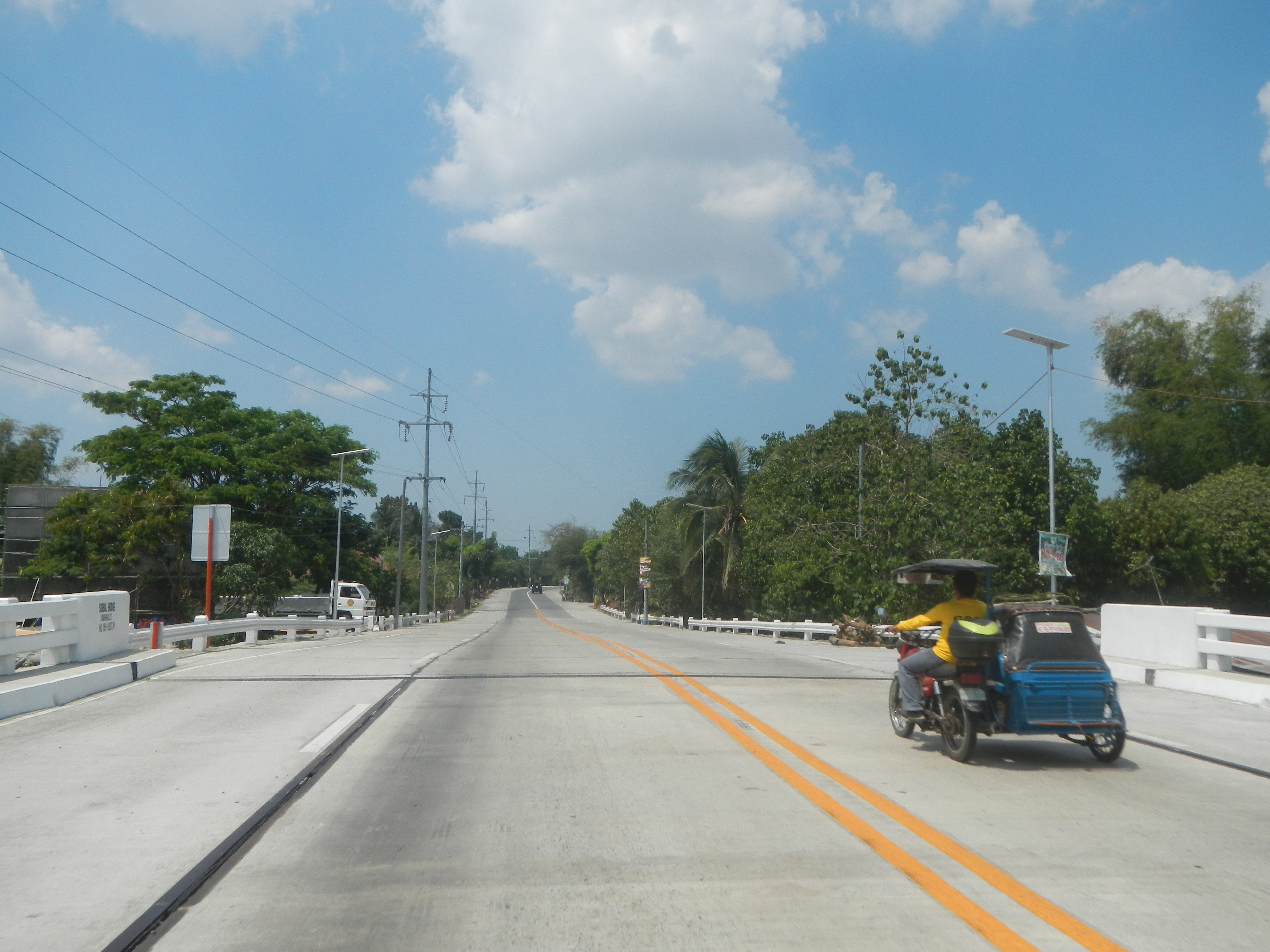
English: Romulo Highway (Bugallon, Pangasinan) to Romulo Highway (Aguilar, Pangasinan) Bugallon-Aguilar Road Poblacion, Bugallon, Pangasinan Umanday, Bugallon, Pangasinan Sapang Bridge, Bugallon Cayanga, Bugallon, Pangasinan Salomague Norte, Bugallon, Pangasinan Salomague Sur Elementary School, Bugallon Salomague Sur, Bugallon, Pangasinan Sobol Bridge from Bugallon Bridge K0 358+-655 Lingayen-Bugallon Road (Bugallon) Salasa, Bugallon, Pangasinan Romulo Highway formerly the National Highway 13, Carlos P. Romulo Romulo Boulevard or Romulo Boulevard (Tarlac City, Tarlac) to Olongapo–Bugallon Road Category:Sitios and puroks of the Philippines Subdivisions of the Philippines List of barangays in Pangasinan, Barangays Bañaga, Bugallon, Pangasinan 15.9841, 120.2324 Salasa, Bugallon, Pangasinan 15.9574, 120.2226 Bacabac, Bugallon, Pangasinan 15.9665, 120.2228 Poblacion, Bugallon, Pangasinan 15.9482, 120.2213 Umanday, Bugallon, Pangasinan 15.9299, 120.2215 Cayanga, Bugallon, Pangasinan 15.9167, 120.2269 Salomague Sur, Bugallon, Pangasinan 15.8503, 120.1763 Salomague Norte, Bugallon, Pangasinan 15.8853, 120.1832 Bugallon, Pangasinan bounded by Category:Sitios and puroks of the Philippines Subdivisions of the Philippines List of barangays in Pangasinan, Barangays Baybay, Aguilar, Pangasinan 15.8971, 120.2506 Manlocboc, Aguilar, Pangasinan 15.8906, 120.2292 Poblacion, Aguilar, Pangasinan 15.8736, 120.2186 Aguilar, Pangasinan from Binmaley- Lingayen Road (Lingayen) served by the Agno River Basin Agno Valley of (Note: Judge Florentino Floro, the owner, to repeat, Donor Florentino Floro of all these photos hereby donate gratuitously, freely and unconditionally Judge Floro all these photos to and for Wikimedia Commons, exclusively, for public use of the public domain, and again without any condition whatsoever). |
| Date | |
| Source | Own work |
| Author | Judgefloro |
| Camera location | | View this and other nearby images on: OpenStreetMap |
|---|
Salomague Sur, Bugallon, Pangasinan 15.8503, 120.1763
Licensing
edit
I, the copyright holder of this work, hereby publish it under the following license:
| This file is made available under the Creative Commons CC0 1.0 Universal Public Domain Dedication. | |
| The person who associated a work with this deed has dedicated the work to the public domain by waiving all of their rights to the work worldwide under copyright law, including all related and neighboring rights, to the extent allowed by law. You can copy, modify, distribute and perform the work, even for commercial purposes, all without asking permission.
|
File history
Click on a date/time to view the file as it appeared at that time.
| Date/Time | Thumbnail | Dimensions | User | Comment | |
|---|---|---|---|---|---|
| current | 06:50, 12 March 2020 | | 4,608 × 3,456 (6.53 MB) | Judgefloro (talk | contribs) | Uploaded own work with UploadWizard |
You cannot overwrite this file.
File usage on Commons
There are no pages that use this file.