File:35Tayug Central Business District 24.jpg

Size of this preview: 800 × 600 pixels. Other resolutions: 320 × 240 pixels | 640 × 480 pixels | 1,024 × 768 pixels | 1,280 × 960 pixels | 2,560 × 1,920 pixels | 4,608 × 3,456 pixels.
Original file (4,608 × 3,456 pixels, file size: 6.97 MB, MIME type: image/jpeg)
Captions
Captions
Tayug Central Business District
Summary
edit
| Description |
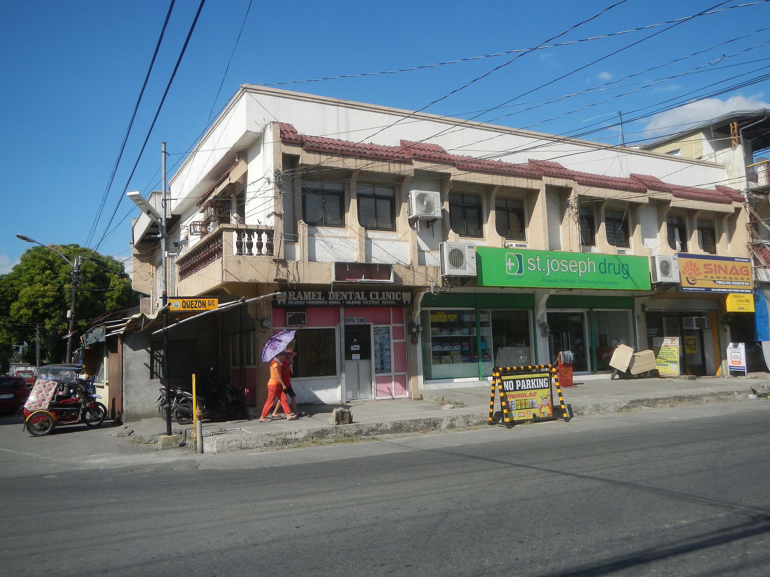
English: Chowking restaurants in Tayug, Pangasinan ARB Square Tayug Tayug Central Business District MMC Supermarket Tayug-Natividad Road (Poblacion-Carriedo, Tayug) Iglesia Ni Cristo churches in Tayug, Pangasinan Carriedo Elementary School Sitios and puroks I-VII of Canarem, Natividad, Pangasinan Iglesia Ni Cristo churches in Natividad, Pangasinan Burgos, Natividad, Pangasinan Paddy fields in Natividad, Pangasinan Canarem Elementary School Welcome-boundary arch-signs of Natividad (Canarem) in Tayug (Carriedo), Pangasinan Tayug-Natividad Road (Tayug) Construction rehabilitation P 14. 4 million cost to Natividad-Tayug Road (Natividad) Rehabilitation cost P 34.714 million Category:Sitios and puroks of the Philippines List of barangays in Pangasinan, Barangays of Pangasinan Barangays Burgos, Natividad, Pangasinan 16.0282, 120.7805 Barangobong, Natividad, Pangasinan 16.0482, 120.7767 Poblacion West, Natividad, Pangasinan 16.0457, 120.7977 Rizal, Natividad, Pangasinan 16.0419, 120.7792 Canarem, Natividad, Pangasinan 16.0378, 120.7797 Natividad,_Pangasinan served by the Agno River, Viray Bridge Coordinate: 16.0070848, 120.8066002] Dipalo River Viray-Depalo River Control Project Rehabilitation of Dike Dipalo River Diversion Dam 15° 59' 8" North, 120° 51' 11" East to Viray River [ph.geovaiew.info/viray_river,7639066 Latitude: 16°1'14.52" Longitude: 120°45'27.71"] Viray River construction of the dike at barangay Batchelor East at the foot of the Caraballo Mountains bounded by Category:Sitios and puroks of the Philippines Sitio List of barangays in Pangasinan, Barangays of Pangasinan, Barangays [https://www.philatlas.com/luzon/r01/pangasinan/tayug/barangay-b.html Barangay B 16.0277, 120.7442 Carriedo, Tayug, Pangasinan 16.0374, 120.7583, Tayug, Pangasinan (accessed from or along Carmen Junction-Manat Road, KM 172+ (-289) - KM 189+250 and from MacArthur Highway (Rosales, Pangasinan section) and MacArthur Highway (San Manuel, Tarlac) MacArthur Highway or Manila North Road) Philippine highway network) (Note: Judge Florentino Floro, the owner, to repeat, Donor Florentino Floro of all these photos hereby donate gratuitously, freely and unconditionally Judge Floro all these photos to and for Wikimedia Commons, exclusively, for public use of the public domain, and again without any condition whatsoever). |
| Date | |
| Source | Own work |
| Author | Judgefloro |
| Camera location | | View this and other nearby images on: OpenStreetMap |
|---|
Barangay B 16.0277, 120.7442
Licensing
edit
I, the copyright holder of this work, hereby publish it under the following license:
| This file is made available under the Creative Commons CC0 1.0 Universal Public Domain Dedication. | |
| The person who associated a work with this deed has dedicated the work to the public domain by waiving all of their rights to the work worldwide under copyright law, including all related and neighboring rights, to the extent allowed by law. You can copy, modify, distribute and perform the work, even for commercial purposes, all without asking permission.
|
File history
Click on a date/time to view the file as it appeared at that time.
| Date/Time | Thumbnail | Dimensions | User | Comment | |
|---|---|---|---|---|---|
| current | 07:23, 10 January 2020 | | 4,608 × 3,456 (6.97 MB) | Judgefloro (talk | contribs) | User created page with UploadWizard |
You cannot overwrite this file.
File usage on Commons
There are no pages that use this file.