File:5120Santa Rita, Agoo, La Union 43.jpg

Size of this preview: 800 × 600 pixels. Other resolutions: 320 × 240 pixels | 640 × 480 pixels | 1,024 × 768 pixels | 1,280 × 960 pixels | 2,560 × 1,920 pixels | 4,608 × 3,456 pixels.
Original file (4,608 × 3,456 pixels, file size: 6.44 MB, MIME type: image/jpeg)
Captions
Captions
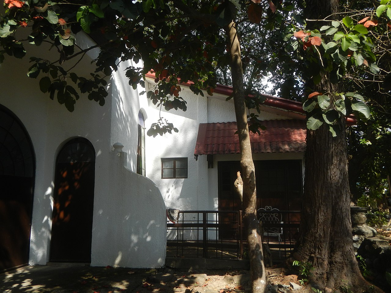
Santa Rita, Agoo, La Union
Summary edit
| Description |
English: Santa Rita coast seawall, basketball court and auditorium, Agoo Inaugurated May 21, 1994 Santa Rita Chapel (belfry and rectory) replacing the Old Rectory destroyed by July 16, 1990 earthquake Solemnly Dedicated May 21, 1994 Santa Rita breakwaters, Agoo Agoo (Santa Rita) Lighthouse Approx. 15 m (49 ft) square cylindrical concrete church steeple; the light is shown from a bracket mounted in the belfry Agoo-Damortis National Seashore Park By virtue of Agoo Municipal Ordinance No. 04-2014 designating the Alluvium in Santa Rita West and Central, Agoo, La Union as Eco-Tourism Park known as Agoo Eco-Fun World of the Agoo-Damortis Protected Landscape and Seascape (Santa Rita Sur, West and Central, Agoo, La Union) Agoo–Damortis Protected Landscape and Seascape is located on the eastern side of Lingayen Gulf from MacArthur Highway (Agoo, La Union) Category:Sitios and puroks of the Philippines Subdivisions of the Philippines List of barangays in La Union Barangays Santa Rita Norte 16.3547, 120.3540 Santa Rita East 16.3508, 120.3544 Santa Rita Sur 16.3425, 120.3489 Santa Rita Central 16.3519, 120.3469 Santa Rita West 16.3487, 120.3480 Agoo, La Union from or along Aspiras–Palispis Highway or Marcos Highway from along or from MacArthur Highway (Santo Tomas, La Union section) of the MacArthur Highway or Manila North Road) Philippine highway network (Note: Judge Florentino Floro, the owner, to repeat, Donor Florentino Floro of all these photos hereby donate gratuitously, freely and unconditionally Judge Floro all these photos to and for Wikimedia Commons, exclusively, for public use of the public domain, and again without any condition whatsoever). |
| Date | |
| Source | Own work |
| Author | Judgefloro |
| Camera location | | View this and other nearby images on: OpenStreetMap |
|---|
Santa Rita West 16.3487, 120.3480
Licensing edit
I, the copyright holder of this work, hereby publish it under the following license:
| This file is made available under the Creative Commons CC0 1.0 Universal Public Domain Dedication. | |
| The person who associated a work with this deed has dedicated the work to the public domain by waiving all of their rights to the work worldwide under copyright law, including all related and neighboring rights, to the extent allowed by law. You can copy, modify, distribute and perform the work, even for commercial purposes, all without asking permission.
|
File history
Click on a date/time to view the file as it appeared at that time.
| Date/Time | Thumbnail | Dimensions | User | Comment | |
|---|---|---|---|---|---|
| current | 10:45, 11 February 2020 | | 4,608 × 3,456 (6.44 MB) | Judgefloro (talk | contribs) | User created page with UploadWizard |
You cannot overwrite this file.
File usage on Commons
There are no pages that use this file.