File:71PankewegweiserOberhalbSchlosspark.JPG
Size of this preview: 750 × 600 pixels. Other resolutions: 300 × 240 pixels | 600 × 480 pixels | 960 × 768 pixels | 1,280 × 1,024 pixels | 1,600 × 1,280 pixels.
Original file (1,600 × 1,280 pixels, file size: 738 KB, MIME type: image/jpeg)
Captions
Captions
Add a one-line explanation of what this file represents
Summary edit
| Description |
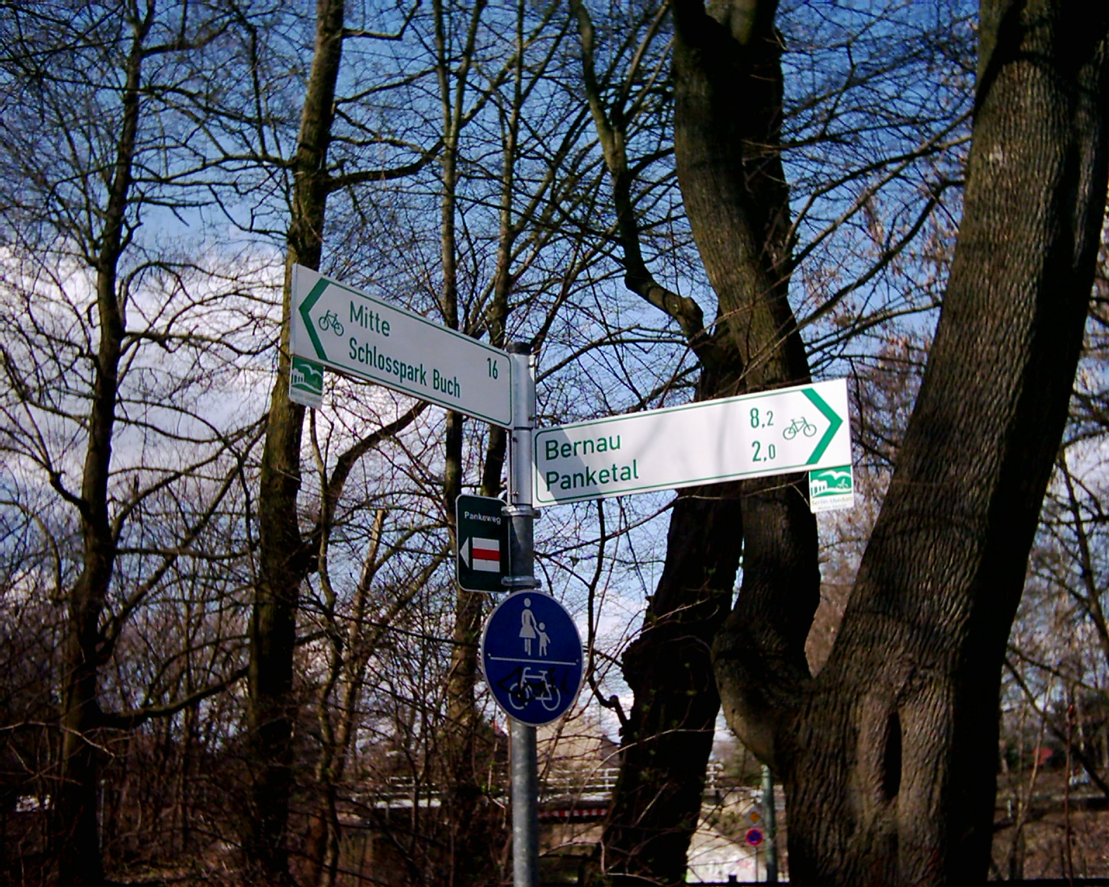
Deutsch: Der Pankewanderweg verläuft als Teil des Fernwanderweges Budapest-Kopenhagen auch durch den Schlosspark in Berlin-Buch. Der Wegweiser am südlichen Ende des Parkes weist 8,2 km bis nach Bernau der Quelle der Panke und 16 km bis Berlin-Mitte, der Ortsteil in dem sich die Mündung der Panke befindet. |
| Source | Own work |
| Author | Boonekamp |
| Camera location | | View this and other nearby images on: OpenStreetMap |
|---|
Licensing edit
| I, the copyright holder of this work, release this work into the public domain. This applies worldwide. In some countries this may not be legally possible; if so: I grant anyone the right to use this work for any purpose, without any conditions, unless such conditions are required by law. |
File history
Click on a date/time to view the file as it appeared at that time.
| Date/Time | Thumbnail | Dimensions | User | Comment | |
|---|---|---|---|---|---|
| current | 18:23, 2 April 2010 | | 1,600 × 1,280 (738 KB) | Boonekamp (talk | contribs) | {{Information |Description={{de|1=Der Pankewanderweg verläuft als Teil des Fernwanderweges Budapest-Kopenhagen auch durch den Schlosspark in Berlin-Buch. Der Wegweiser am südlichen Ende des Parkes weist 8,2 km bis nach Bernau der Quelle der Panke und 16 |
You cannot overwrite this file.
File usage on Commons
The following page uses this file:
File usage on other wikis
The following other wikis use this file:
- Usage on de.wikipedia.org