File:8923Jimenez, Mapandan, Pangasinan 14.jpg

Size of this preview: 800 × 600 pixels. Other resolutions: 320 × 240 pixels | 640 × 480 pixels | 1,024 × 768 pixels | 1,280 × 960 pixels | 2,560 × 1,920 pixels | 4,608 × 3,456 pixels.
Original file (4,608 × 3,456 pixels, file size: 6.09 MB, MIME type: image/jpeg)
Captions
Captions
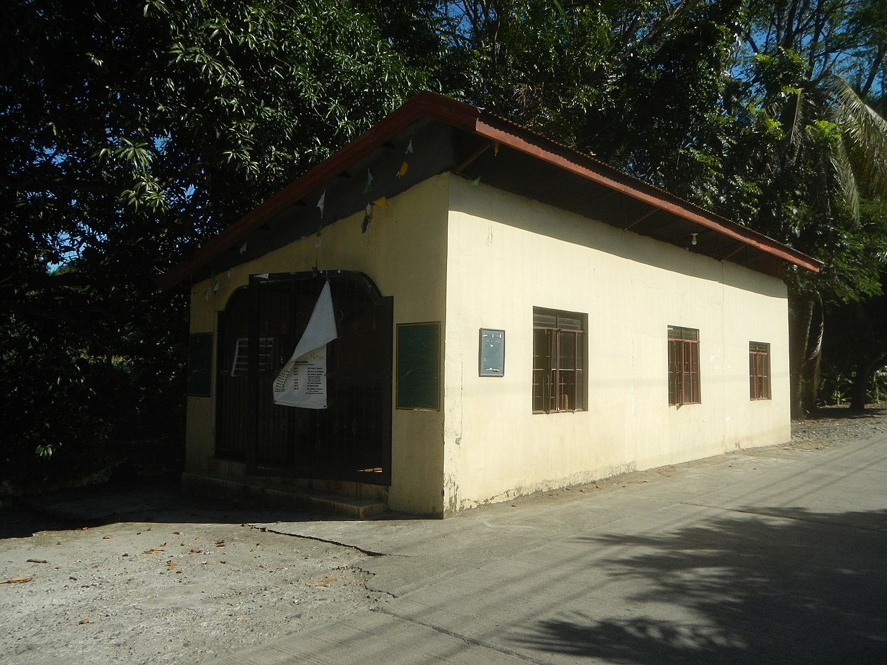
Jimenez, Mapandan, Pangasinan
Summary
edit
| Description |
English: Payas Creek Jimenez, Mapandan, Pangasinan Mapandan-Santa Barbara Road (Mapandan) interconnecting with Erfe and Leet to Nilombot Payas Creek Lambayan, Mapandan, Pangasinan Mapandan-Santa Barbara Road (Mapandan) Paddy fields in Mapandan, Pangasinan Asland Resort Saint Vincent Ferrer chapel of Jimenez, Mapandan Mapandan-Urdaneta Road Aserda Intersection Mapandan-Manaoag Road (Mapandan) Aserda, Mapandan, Pangasinan Santa Maria, Mapandan, Pangasinan Mango Avenue with Slope protection works Mapandan-Manaoag Road (Mapandan) Poblacion, Mapandan, Pangasinan Pauline's Ponciaan Restaurant Torres, Mapandan, Pangasinan Fire Tree Avanue Mapandan-Manaoag Access Road to Santa Barbara-Calasiao, Pangasinan National Road (MacArthur Highway) to Santa Barbara-Mangaldan, Pangasinan National Road (MacArthur Highway) Category:Sitios and puroks of the Philippines Subdivisions of the Philippines List of barangays in Pangasinan, Barangays Torres, Mapandan, Pangasinan 16.0183, 120.4692 Jimenez, Mapandan, Pangasinan 16.0175, 120.4618 Poblacion, Mapandan, Pangasinan 16.0300, 120.4561 Aserda, Mapandan, Pangasinan 16.0252, 120.4394 Santa Maria, Mapandan, Pangasinan 16.0350, 120.4654
Mapandan, Pangasinan Pangasinan Province served by the Angalacan River 16°2'48"N 120°28'9"E Latitude: 16.0369° or 16° 2' 12.7" north Longitude: 120.4669° or 120° 28' 0.7" east Elevation: 14 meters (46 feet) GeoNames ID: 1730768 joins the Bued River along Urdaneta Junction-Dagupan Road (Santa Barbara, Pangasinan) KM 190+734 Santa Barbara-Urdaneta City National Road of MacArthur Highway (Santa Barbara, Pangasinan section) of Urdaneta Junction-Dagupan-Lingayen Road MacArthur Highway or Manila North Road) surrounded by the Agno Valley of Agno River (Notes: photos taken under conditions of Category:Cloudy sky in the Philippines due to [https://www.pgyc.org/monsoon-weather.php Northeast Monsoon Amihan and a low-pressure area) and 2020 Taal Volcano eruption Cold front tail end of Philippines) (Note: Judge Florentino Floro, the owner, to repeat, Donor Florentino Floro of all these photos hereby donate gratuitously, freely and unconditionally Judge Floro all these photos to and for Wikimedia Commons, exclusively, for public use of the public domain, and again without any condition whatsoever). |
| Date | |
| Source | Own work |
| Author | Judgefloro |
| Camera location | | View this and other nearby images on: OpenStreetMap |
|---|
Jimenez, Mapandan, Pangasinan 16.0175, 120.4618
Licensing
edit
I, the copyright holder of this work, hereby publish it under the following license:
| This file is made available under the Creative Commons CC0 1.0 Universal Public Domain Dedication. | |
| The person who associated a work with this deed has dedicated the work to the public domain by waiving all of their rights to the work worldwide under copyright law, including all related and neighboring rights, to the extent allowed by law. You can copy, modify, distribute and perform the work, even for commercial purposes, all without asking permission.
|
File history
Click on a date/time to view the file as it appeared at that time.
| Date/Time | Thumbnail | Dimensions | User | Comment | |
|---|---|---|---|---|---|
| current | 08:11, 16 January 2020 | | 4,608 × 3,456 (6.09 MB) | Judgefloro (talk | contribs) | User created page with UploadWizard |
You cannot overwrite this file.
File usage on Commons
There are no pages that use this file.