File:A Little Six - Playa del Carmen QR - Nov 2020.jpg
Size of this preview: 800 × 480 pixels. Other resolutions: 320 × 192 pixels | 1,024 × 614 pixels | 1,280 × 767 pixels | 2,560 × 1,535 pixels | 4,142 × 2,483 pixels.
Original file (4,142 × 2,483 pixels, file size: 1.21 MB, MIME type: image/jpeg)
Captions
Captions
Playa del Carmen QR
Summary
edit
| Description |
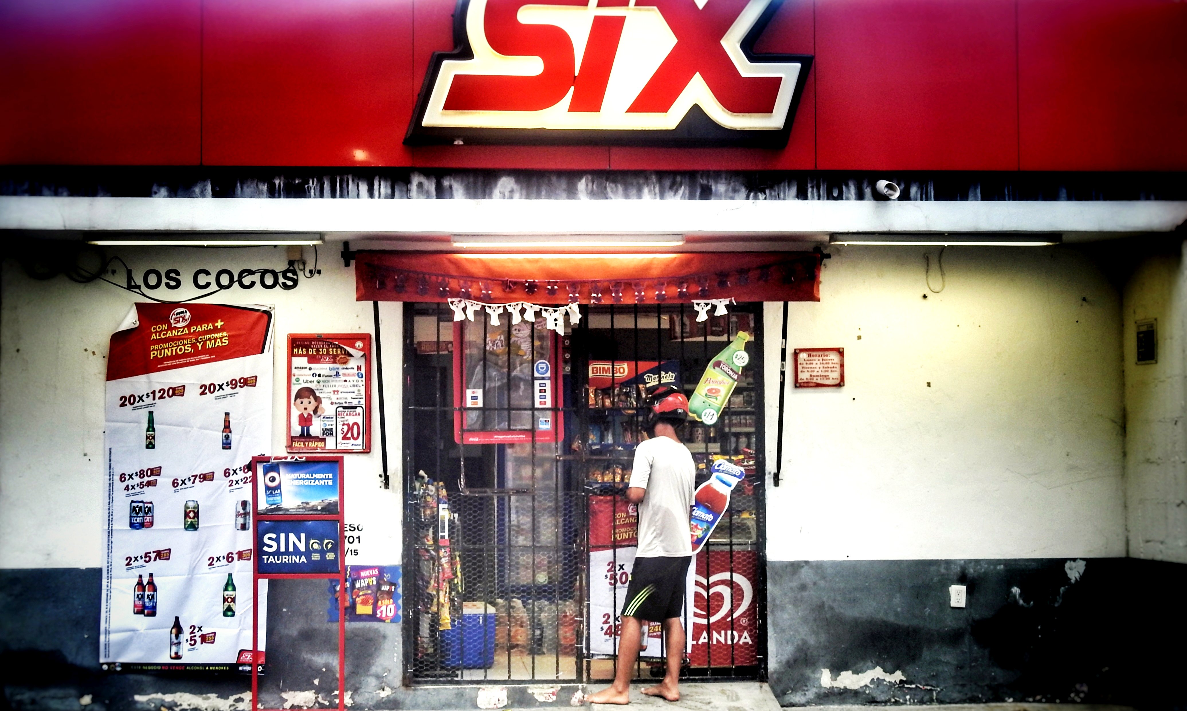
English: Playa del Carmen QR
Used here. dennissylvesterhurd.blogspot.com/2020/11/jay-found-spice-... |
| Date | |
| Source | https://www.flickr.com/photos/dennissylvesterhurd/50595396806/ |
| Author | Dennis Sylvester Hurd |
| Camera location | | View this and other nearby images on: OpenStreetMap |
|---|
Licensing
edit
| This image, originally posted to Flickr, was reviewed on 23 June 2021 by the administrator or reviewer -akko, who confirmed that it was available on Flickr under the stated license on that date. |
| This file is made available by its copyright holder under the Creative Commons Public Domain Mark 1.0. | |
| While the Public Domain Mark is not intended to be used as a license, community consensus has found that when a copyright holder applies the PDM to their own work, they are declaring their work to be in the public domain.
If a file is tagged PDM by someone other than the copyright holder, a more specific copyright tag such as one found at Commons:Copyright tags/General public domain must be applied. If this is your own work, please use {{Cc-zero}} instead. |
File history
Click on a date/time to view the file as it appeared at that time.
| Date/Time | Thumbnail | Dimensions | User | Comment | |
|---|---|---|---|---|---|
| current | 18:34, 23 April 2021 | | 4,142 × 2,483 (1.21 MB) | Infrogmation (talk | contribs) | Uploaded a work by Dennis Sylvester Hurd from https://www.flickr.com/photos/dennissylvesterhurd/50595396806/ with UploadWizard |
You cannot overwrite this file.
File usage on Commons
There are no pages that use this file.