File:Abobo (Ivory Coast, OpenStreetMap).png

Size of this preview: 800 × 504 pixels. Other resolutions: 320 × 202 pixels | 640 × 403 pixels.
Original file (952 × 600 pixels, file size: 228 KB, MIME type: image/png)
Captions
Captions
Add a one-line explanation of what this file represents
| Description |
This map was created from OpenStreetMap project data, collected by the community. This map may be incomplete, and may contain errors. Don't rely solely on it for navigation. |
| Date | (see file history) |
| Source | You may find a page on the OpenStreetMap wiki page for Abobo |
| Creator |
OpenStreetMap contributors |
| Permission (Reusing this file) |
OpenStreetMap data and maps are licensed under the Creative Commons Attribution-ShareAlike 2.0 license (CC-BY-SA 2.0). This file is licensed under the Creative Commons Attribution-Share Alike 2.0 Generic license.
|
| Georeferencing | If inappropriate please set warp_status = skip to hide. |
Summary edit
.png&action=edit§ion=1)
- Source link: OSM map page of Abobo
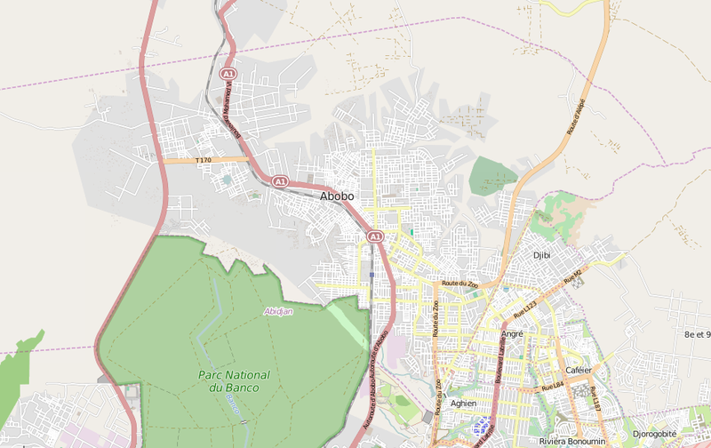
- English: Map showing the Ivorian city of Abobo, a suburb of Abidjan.
File history
Click on a date/time to view the file as it appeared at that time.
| Date/Time | Thumbnail | Dimensions | User | Comment | |
|---|---|---|---|---|---|
| current | 22:07, 21 July 2015 | | 952 × 600 (228 KB) | DerBorg (talk | contribs) | {{OpenStreetMap|odbl=no|name=Zulueta}} == {{int:filedesc}} == *'''Source link:''' [http://www.openstreetmap.org/#map=13/5.4267/-4.0328 OSM map page of Abobo] *{{en|Map showing the Ivorian city of Abobo, a suburb of Abidjan.}} [[Category... |
You cannot overwrite this file.
File usage on Commons
There are no pages that use this file.
File usage on other wikis
The following other wikis use this file:
- Usage on en.wikipedia.org
- Usage on pl.wikipedia.org
.png&oldid=780042392)