File:Ada mun.png

Size of this preview: 800 × 504 pixels. Other resolutions: 320 × 202 pixels | 640 × 403 pixels | 1,078 × 679 pixels.
Original file (1,078 × 679 pixels, file size: 35 KB, MIME type: image/png)
Captions
Captions
Add a one-line explanation of what this file represents
Summary
edit
| Description |
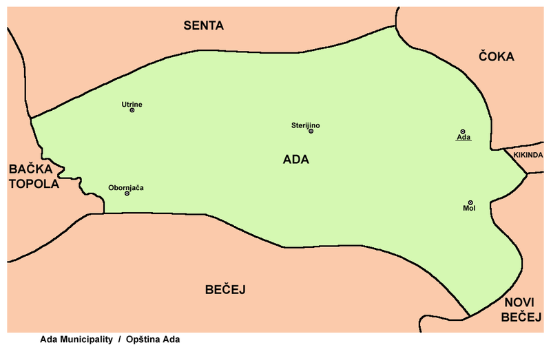
English: map of Ada municipality, Vojvodina, Serbia
Српски / srpski: мапа општине Ада, Војводина, Србија |
| Date | 20 February 2009 (original upload date) |
| Source | No machine-readable source provided. Own work assumed (based on copyright claims). |
| Author | No machine-readable author provided. PANONIAN assumed (based on copyright claims). |
Source and licence
edit
self made map by user:PANONIAN
Licensing
edit
| I, the copyright holder of this work, release this work into the public domain. This applies worldwide. In some countries this may not be legally possible; if so: I grant anyone the right to use this work for any purpose, without any conditions, unless such conditions are required by law. |
File history
Click on a date/time to view the file as it appeared at that time.
| Date/Time | Thumbnail | Dimensions | User | Comment | |
|---|---|---|---|---|---|
| current | 14:16, 16 March 2013 | | 1,078 × 679 (35 KB) | PANONIAN (talk | contribs) | improved version |
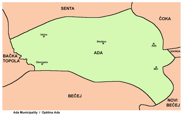
| 16:31, 20 February 2009 |  | 982 × 616 (23 KB) | PANONIAN (talk | contribs) | map of Ada municipality (self made) {{PD-self}} Category:Maps of municipalities of Vojvodina Category:Ada |
You cannot overwrite this file.
File usage on Commons
The following page uses this file:
File usage on other wikis
The following other wikis use this file:
- Usage on en.wikipedia.org
- Usage on eo.wikipedia.org
- Usage on fr.wikipedia.org
- Usage on hr.wikipedia.org
- Usage on hu.wikipedia.org
- Usage on ru.wikipedia.org
- Usage on sh.wikipedia.org
- Usage on sq.wikipedia.org
- Usage on sr.wikipedia.org
- Usage on uk.wikipedia.org