File:Aerial photo of Black Creek, near Mount Dennis, 1942.png
Original file (910 × 1,080 pixels, file size: 1.16 MB, MIME type: image/png)
Captions
Captions
| Description |
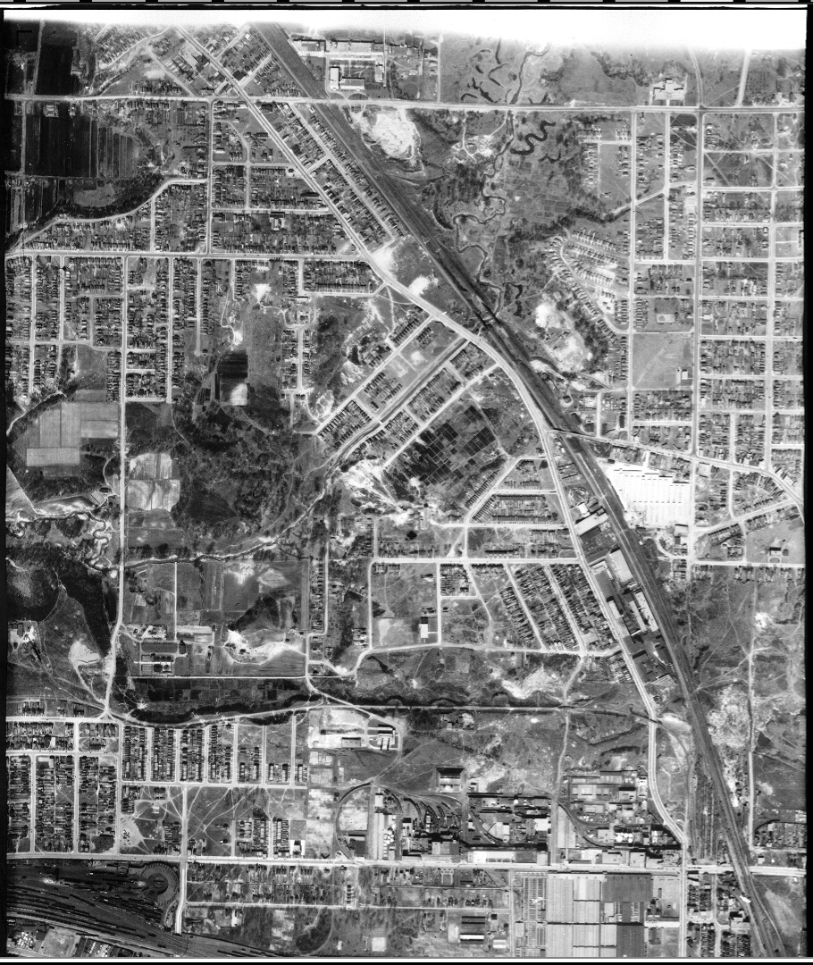
Aerial photo of Black Creek, near Mount Dennis, 1942
|
|||
| Date | ||||
| Source | http://www1.toronto.ca/wps/portal/contentonly?vgnextoid=98ab757ae6b31410VgnVCM10000071d60f89RCRD&vgnextchannel=9f53226b48c21410VgnVCM10000071d60f89RCRD&appInstanceName=default | |||
| Author | City of Toronto | |||
| Permission (Reusing this file) |
|

File history
Click on a date/time to view the file as it appeared at that time.
| Date/Time | Thumbnail | Dimensions | User | Comment | |
|---|---|---|---|---|---|
| current | 17:13, 29 February 2016 | | 910 × 1,080 (1.16 MB) | Geo Swan (talk | contribs) | {{Information |Description=Aerial photo of Black Creek, near Mount Dennis, 1942 {{COTA-images}} |Source=http://www1.toronto.ca/wps/portal/contentonly?vgnextoid=98ab757ae6b31410VgnVCM10000071d60f89RCRD&vgnextchannel=9f53226b48c21410VgnVCM10000071d60f89R... |
You cannot overwrite this file.
File usage on Commons
The following page uses this file: