File:Alagoas Municipalities.png
Size of this preview: 800 × 447 pixels. Other resolutions: 320 × 179 pixels | 640 × 358 pixels | 1,252 × 700 pixels.
Original file (1,252 × 700 pixels, file size: 30 KB, MIME type: image/png)
Captions
Captions
Add a one-line explanation of what this file represents

|
This image could be re-created using vector graphics as an SVG file. This has several advantages; see Commons:Media for cleanup for more information. If an SVG form of this image is available, please upload it and afterwards replace this template with
{{vector version available|new image name}}.
It is recommended to name the SVG file “Alagoas Municipalities.svg”—then the template Vector version available (or Vva) does not need the new image name parameter. |
Summary edit
| Description |
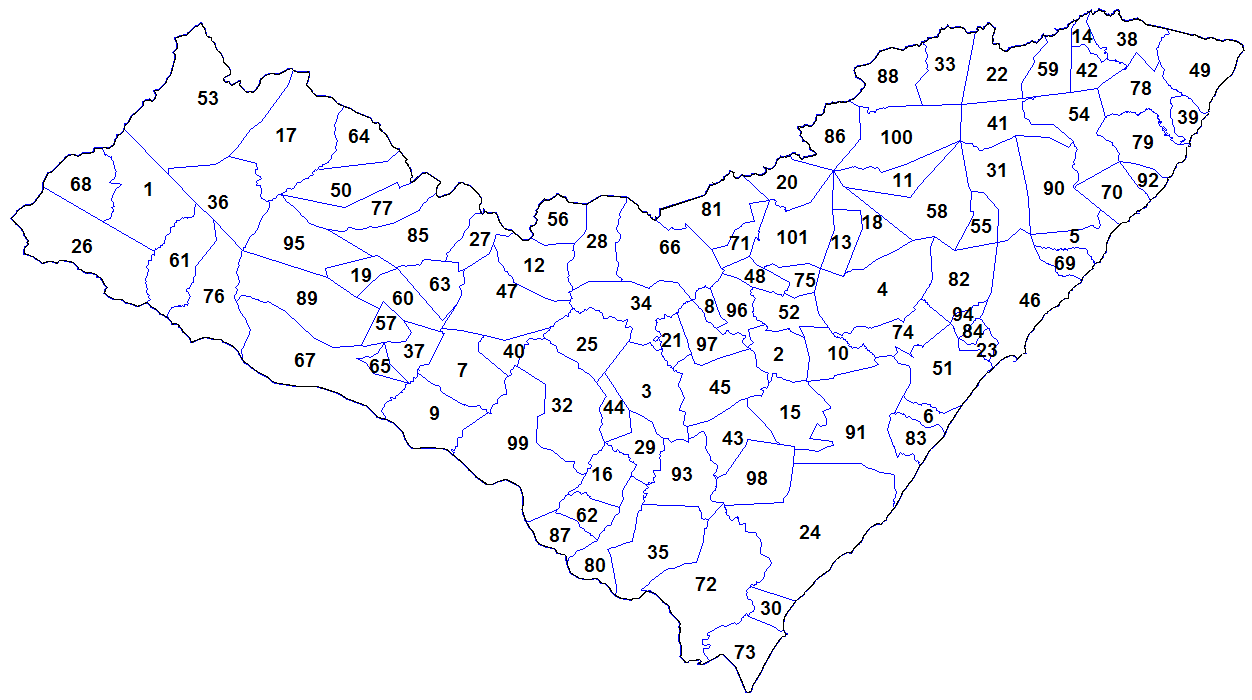
English: Map of the municipalities of the state of Alagoas, Brazil. Created by Rarelibra 18:55, 24 August 2006 (UTC) for public domain use. Created using MapInfo Professional v8.5 and various mapping resources. |
| Date | 24 August 2006 (original upload date) |
| Source |
Own work Transferred from en.wikipedia |
| Author | Rarelibra at en.wikipedia |
Licensing edit
| |
This work has been released into the public domain by its author, Rarelibra, at the English Wikipedia project. This applies worldwide. In case this is not legally possible: |
Original upload log edit
The original description page was here. All following user names refer to en.wikipedia.
- 2006-08-24 18:55 Rarelibra 1281×880 (52921 bytes) Map of the municipalities of the state of Alagoas, Brazil. Created by ~~~~ for public domain use. Created using MapInfo Professional v8.5 and various mapping resources.
File history
Click on a date/time to view the file as it appeared at that time.
| Date/Time | Thumbnail | Dimensions | User | Comment | |
|---|---|---|---|---|---|
| current | 21:48, 2 November 2023 | | 1,252 × 700 (30 KB) | Beao (talk | contribs) | Cropped 2 % horizontally, 20 % vertically using CropTool with lossless mode. Removed border. |
| 14:29, 29 January 2012 |  | 1,281 × 880 (52 KB) | BotMultichillT (talk | contribs) | {{BotMoveToCommons|en.wikipedia|year={{subst:CURRENTYEAR}}|month={{subst:CURRENTMONTHNAME}}|day={{subst:CURRENTDAY}}}} == {{int:filedesc}} == {{Information |description={{en|1=Map of the municipalities of the state of Alagoas, Brazil. Created by [[:en:Us |
You cannot overwrite this file.
File usage on Commons
There are no pages that use this file.
File usage on other wikis
The following other wikis use this file:
- Usage on ban.wikipedia.org
- Usage on en.wikipedia.org
- Usage on es.wikipedia.org
- Usage on id.wikipedia.org
- Usage on ro.wikipedia.org
- Usage on sco.wikipedia.org
- Usage on zh.wikipedia.org