File:Albolote-20131012-00459.jpg
Size of this preview: 800 × 543 pixels. Other resolutions: 320 × 217 pixels | 640 × 434 pixels | 1,024 × 695 pixels | 1,280 × 869 pixels | 2,172 × 1,474 pixels.
Original file (2,172 × 1,474 pixels, file size: 1.54 MB, MIME type: image/jpeg)
Captions
Captions
Add a one-line explanation of what this file represents
Summary
edit
| Description |
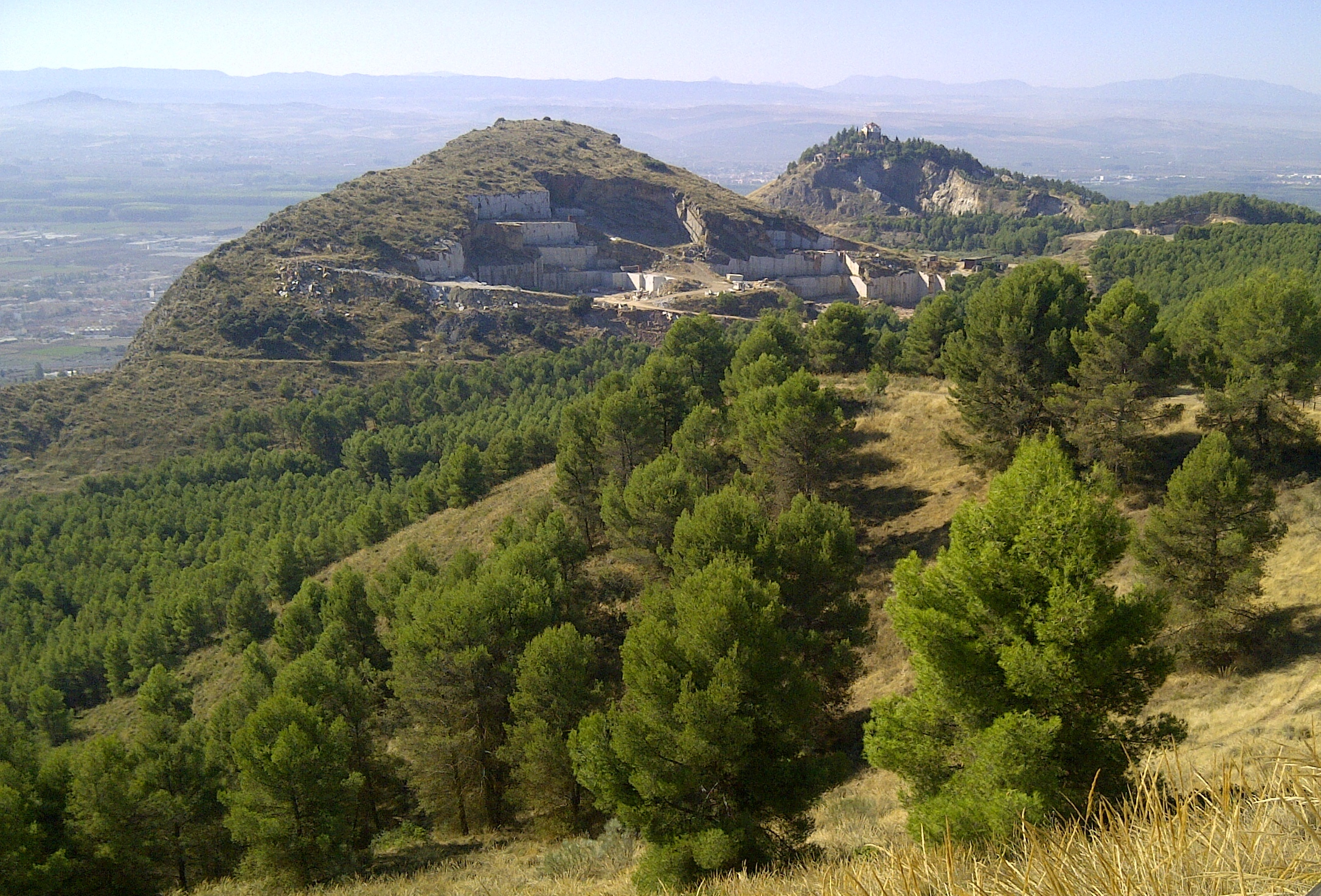
English: Disculpándonos por la rotación que ha impuesto el proceso de carga a la foto, los montes del Tajo Colorado a la izquierda y de la Ermita de Los Tres Juanes, vistos desde el monumento, El Torreón de Albolote, siglo XII. |
| Date | |
| Source | Own work |
| Author | FranciscoWiki |
| Camera location | | View this and other nearby images on: OpenStreetMap |
|---|
Licensing
edit
I, the copyright holder of this work, hereby publish it under the following license:
This file is licensed under the Creative Commons Attribution-Share Alike 3.0 Spain license.
- You are free:
- to share – to copy, distribute and transmit the work
- to remix – to adapt the work
- Under the following conditions:
- attribution – You must give appropriate credit, provide a link to the license, and indicate if changes were made. You may do so in any reasonable manner, but not in any way that suggests the licensor endorses you or your use.
- share alike – If you remix, transform, or build upon the material, you must distribute your contributions under the same or compatible license as the original.


|
This image was uploaded as part of Wiki Loves Monuments 2014.
|
File history
Click on a date/time to view the file as it appeared at that time.
| Date/Time | Thumbnail | Dimensions | User | Comment | |
|---|---|---|---|---|---|
| current | 18:14, 21 November 2020 | | 2,172 × 1,474 (1.54 MB) | Lopezsuarez (talk | contribs) | Cropped 16 % horizontally, 24 % vertically using CropTool with precise mode. |
| 17:01, 7 September 2014 |  | 2,592 × 1,944 (2.73 MB) | SteinsplitterBot (talk | contribs) | Bot: Image rotated by 270° (EXIF-Orientation set from 6 to 1, rotated 0°) | |
| 12:32, 7 September 2014 |  | 1,944 × 2,592 (2.73 MB) | FranciscoWiki (talk | contribs) | User created page with UploadWizard |
You cannot overwrite this file.
File usage on Commons
There are no pages that use this file.