File:Alcalá de Henares (20-07-1837) croquis de Pedro Ortiz de Pinedo.png
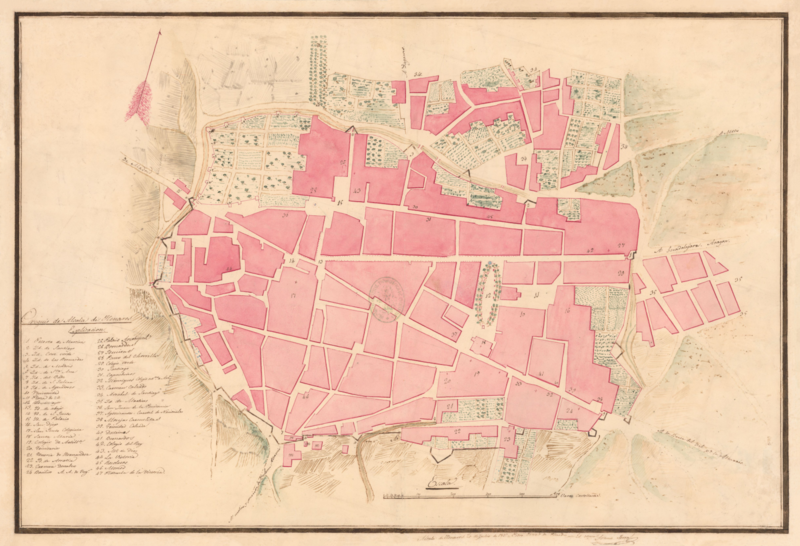
Size of this preview: 800 × 546 pixels. Other resolutions: 320 × 218 pixels | 640 × 437 pixels | 1,024 × 699 pixels | 1,280 × 874 pixels | 2,560 × 1,747 pixels | 4,893 × 3,340 pixels.
Original file (4,893 × 3,340 pixels, file size: 20.93 MB, MIME type: image/png)
Captions
Captions
Add a one-line explanation of what this file represents
Summary
edit_croquis_de_Pedro_Ortiz_de_Pinedo.png&action=edit§ion=1)
| Description |
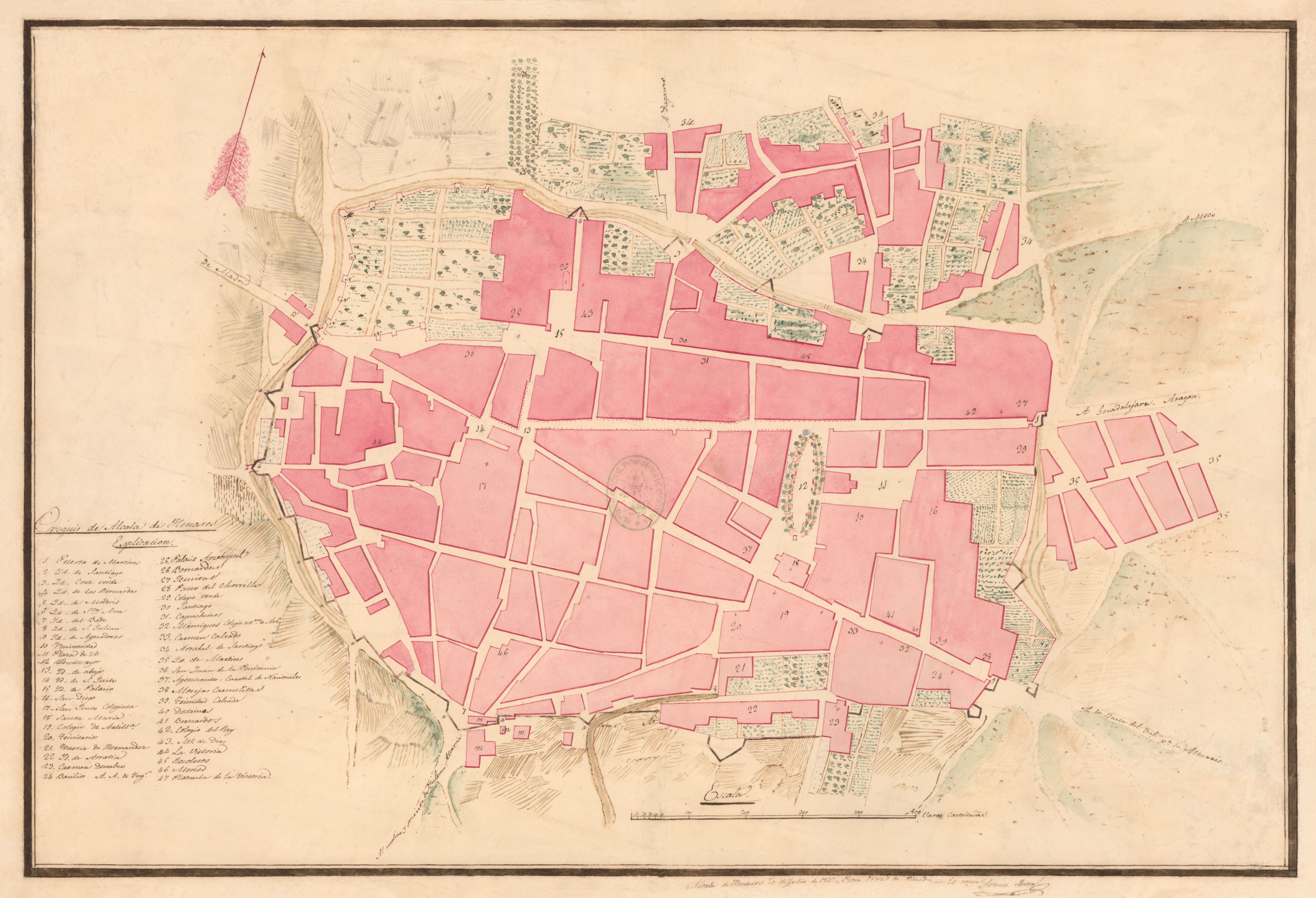
Español: Croquis de Alcalá de Henares dibujado por Pedro Ortiz de Pinedo el 20 de julio de 1837. Es un plano montado sobre tela de 42,6 x 62,8 cm; a escala ca. 1:3.069, donde 500 varas castellanas equivalen a 13,6 cm.
El dibujo es una copia de Antonio Serra, manuscrito a plumilla en tinta negra y roja, coloreado a la acuarela en carmín, verde y marrón. El plano está orientado con una flecha N. al NE. Señala parcelas de cultivo y caminos, con explicación de las claves numéricas.
|
| Date | |
| Source | Pedro Ortiz de Pinedo (copia de Antonio Serra). Croquis de Alcalá de Henares. 20/07/1837. Disponible en Biblioteca Virtual de Defensa. Consultado el 14/09/2022. |
| Author | Pedro Ortiz de Pinedo y Villodas |
| Permission (Reusing this file) |
cc-by-4.0 |
| Camera location | | View this and other nearby images on: OpenStreetMap |
|---|
_croquis_de_Pedro_Ortiz_de_Pinedo.png¶ms=040.482389_N_-003.364114_E_globe:Earth_type:camera__&language=en)
Licensing
edit_croquis_de_Pedro_Ortiz_de_Pinedo.png&action=edit§ion=2)
This file is licensed under the Creative Commons Attribution 4.0 International license.
- You are free:
- to share – to copy, distribute and transmit the work
- to remix – to adapt the work
- Under the following conditions:
- attribution – You must give appropriate credit, provide a link to the license, and indicate if changes were made. You may do so in any reasonable manner, but not in any way that suggests the licensor endorses you or your use.
File history
Click on a date/time to view the file as it appeared at that time.
| Date/Time | Thumbnail | Dimensions | User | Comment | |
|---|---|---|---|---|---|
| current | 18:27, 14 September 2022 | | 4,893 × 3,340 (20.93 MB) | Raimundo Pastor (talk | contribs) | Uploaded a work by Pedro Ortiz de Pinedo from [https://bibliotecavirtual.defensa.gob.es/BVMDefensa/es/consulta/registro.do?id=127662 Pedro Ortiz de Pinedo (copia de Antonio Serra). Croquis de Alcalá de Henares. Biblioteca Virtual de Defensa. 20/07/1837.] with UploadWizard |
You cannot overwrite this file.
File usage on Commons
The following 2 pages use this file:
File usage on other wikis
The following other wikis use this file:
- Usage on es.wikipedia.org
_croquis_de_Pedro_Ortiz_de_Pinedo.png&oldid=859690160)