File:Barrage de Noisiel nord (hautes eaux).jpg

Size of this preview: 800 × 600 pixels. Other resolutions: 320 × 240 pixels | 640 × 480 pixels | 1,024 × 768 pixels | 1,280 × 960 pixels | 2,560 × 1,920 pixels | 4,416 × 3,312 pixels.
Original file (4,416 × 3,312 pixels, file size: 1.78 MB, MIME type: image/jpeg)
Captions
Captions
Add a one-line explanation of what this file represents
{{Information
Summary
edit.jpg&action=edit§ion=1)
| Description |
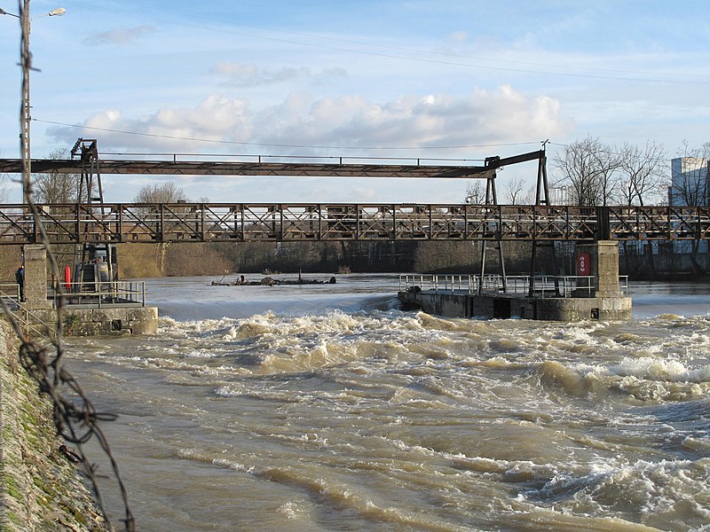
English: North part of the dam of Noisiel on river Marne, France. In winter with high level of the river
Français : La partie nord du barrage de Noisiel sur la Marne, en période de hautes eaux |
| Date | |
| Source | Own work |
| Author | Tangopaso |
| Other versions |
 |
| Camera location | | View this and other nearby images on: OpenStreetMap |
|---|
.jpg¶ms=048.858756_N_0002.622961_E_globe:Earth_type:camera_region:FR_heading:67.50&language=en)
Licensing
edit.jpg&action=edit§ion=2)
| I, the copyright holder of this work, release this work into the public domain. This applies worldwide. In some countries this may not be legally possible; if so: I grant anyone the right to use this work for any purpose, without any conditions, unless such conditions are required by law. |
File history
Click on a date/time to view the file as it appeared at that time.
| Date/Time | Thumbnail | Dimensions | User | Comment | |
|---|---|---|---|---|---|
| current | 16:18, 19 February 2011 | | 4,416 × 3,312 (1.78 MB) | Tangopaso (talk | contribs) | {{Information == {{int:filedesc}} == {{Information |Description={{en|1=North part of the dam of Noisiel on river Marne, France. In winter with high level of the river}} {{fr|1=La partie nord du barrage de Noisiel sur la Marne, en période de hautes eaux}} |
You cannot overwrite this file.
File usage on Commons
The following page uses this file:
.jpg&oldid=817376932)