File:Batiment du barrage des aiguilles de l'île Fleurie.jpg
Size of this preview: 800 × 600 pixels. Other resolutions: 320 × 240 pixels | 640 × 480 pixels | 1,024 × 768 pixels | 1,280 × 960 pixels | 2,560 × 1,920 pixels | 2,816 × 2,112 pixels.
Original file (2,816 × 2,112 pixels, file size: 2.47 MB, MIME type: image/jpeg)
Captions
Captions
Add a one-line explanation of what this file represents
Summary
edit
| Description |
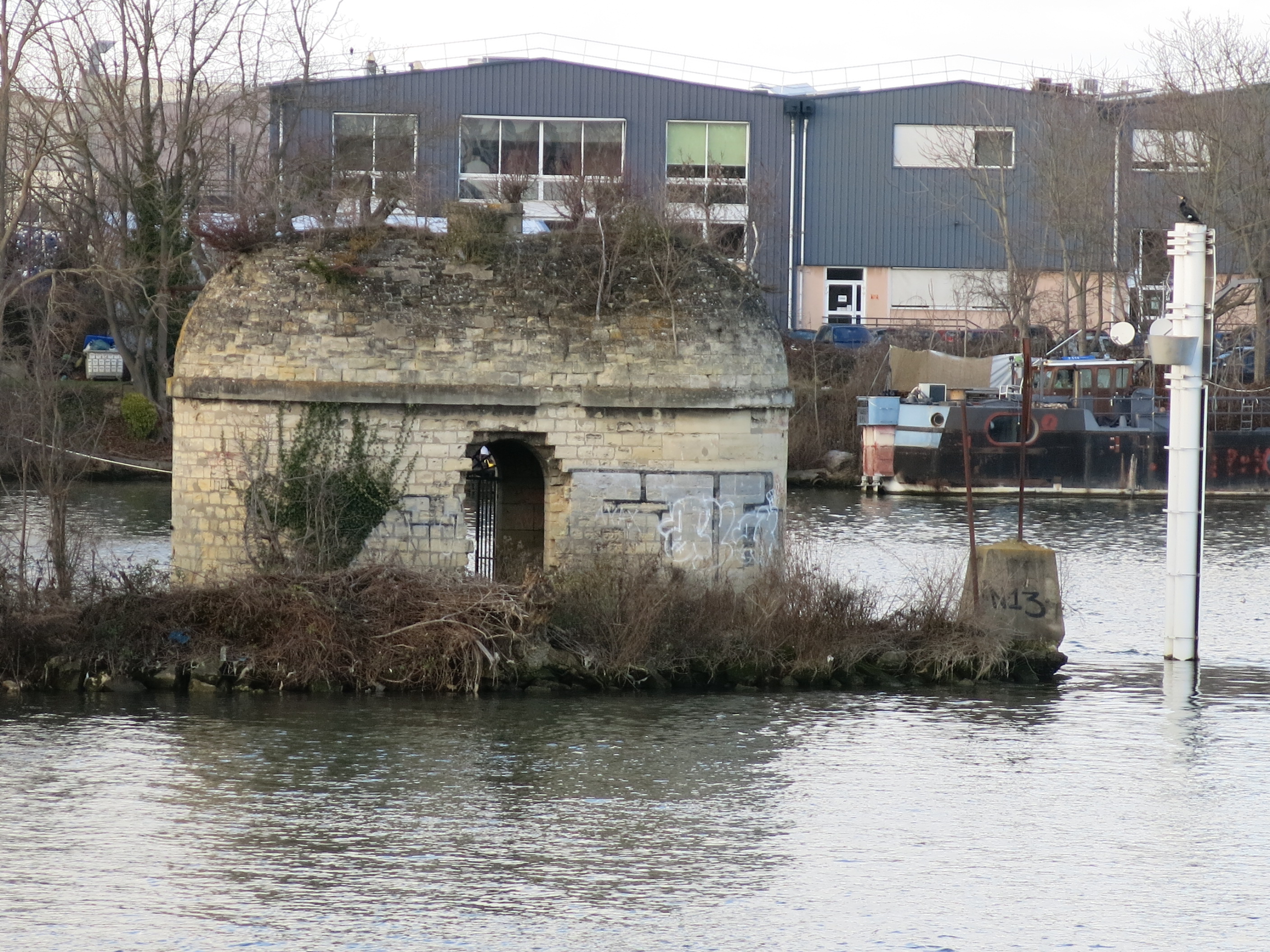
English: Aiguilles dam building on the ile Fleurie, Nanterre (Hauts-de-Seine, France).
Français : Batiment du barrage des aiguilles de l'île Fleurie, Nanterre (Hauts-de-Seine). |
| Date | |
| Source | Self-photographed |
| Author | Tangopaso |
| Object location | | View this and other nearby images on: OpenStreetMap |
|---|
Licensing
edit
| I, the copyright holder of this work, release this work into the public domain. This applies worldwide. In some countries this may not be legally possible; if so: I grant anyone the right to use this work for any purpose, without any conditions, unless such conditions are required by law. |
File history
Click on a date/time to view the file as it appeared at that time.
| Date/Time | Thumbnail | Dimensions | User | Comment | |
|---|---|---|---|---|---|
| current | 16:52, 14 February 2022 | | 2,816 × 2,112 (2.47 MB) | Tangopaso (talk | contribs) | == {{int:filedesc}} == {{Information |Description= {{en|1=Aiguilles dam building on the ile Fleurie, Nanterre (Hauts-de-Seine, France).}} {{fr|1=Batiment du barrage des aiguilles de l'île Fleurie, Nanterre (Hauts-de-Seine).}} |source={{sf}} |date=2022-02-07 |author=Tangopaso |permission= |other_versions= }} {{Object location|48.915302|2.21209}} == {{int:license-header}} == {{PD-self}} Category:Île Fleurie |
You cannot overwrite this file.
File usage on Commons
There are no pages that use this file.