File:Benchmark at Lister Drive bridge.jpg
Size of this preview: 364 × 599 pixels. Other resolutions: 146 × 240 pixels | 291 × 480 pixels | 466 × 768 pixels | 622 × 1,024 pixels | 1,244 × 2,048 pixels | 2,793 × 4,599 pixels.
Original file (2,793 × 4,599 pixels, file size: 12.71 MB, MIME type: image/jpeg)
Captions
Captions
Add a one-line explanation of what this file represents
Summary edit
| Description |
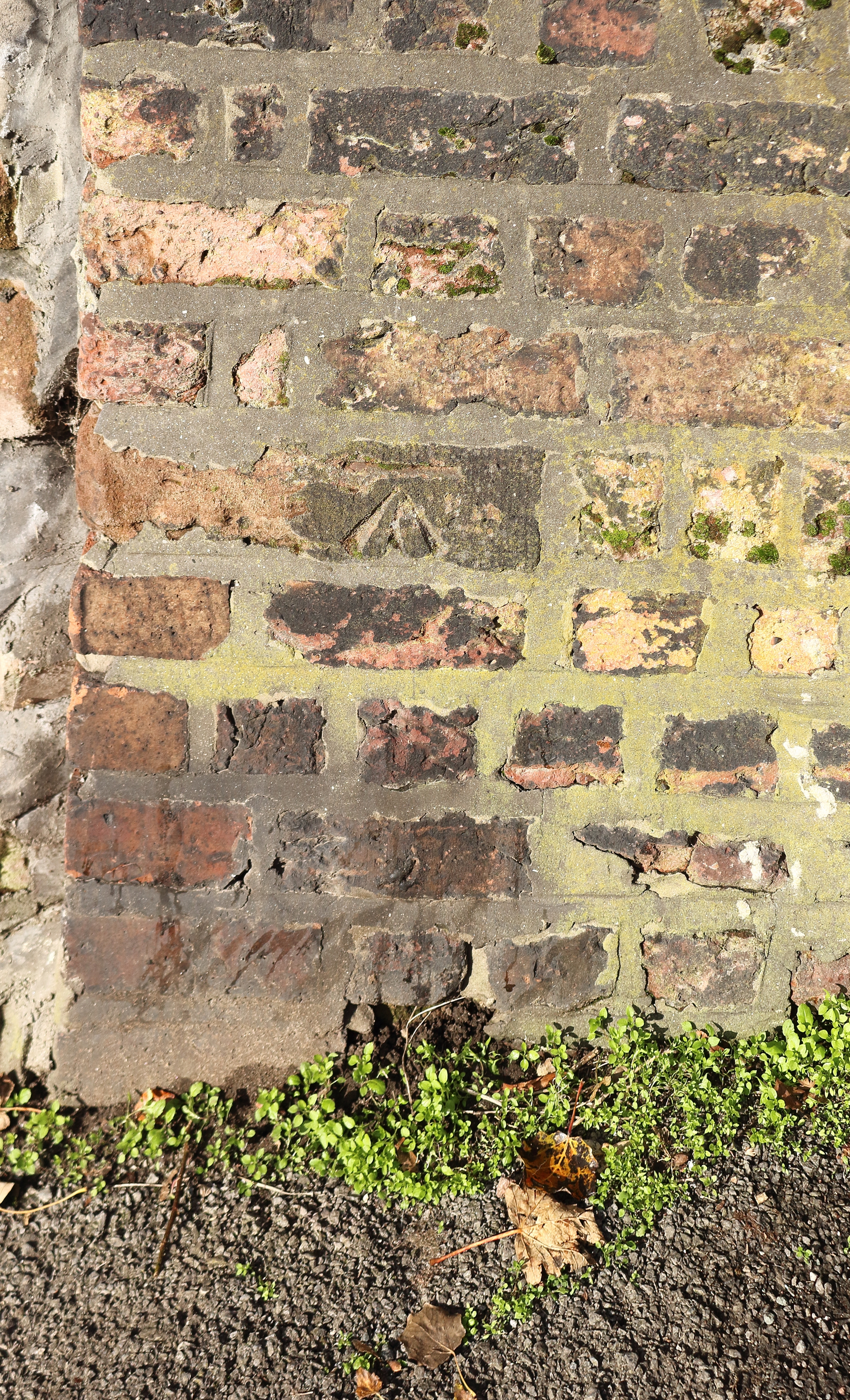
English: Rather slapdash cut mark on the northern parapet of the bridge carrying Lister Drive over the Canada Dock Branch. 49.6641m ASL. |
| Date | Taken on 28 October 2019 14:27:26 |
| Source | Own work |
| Author | Rodhullandemu |
| Object location | | View this and other nearby images on: OpenStreetMap |
|---|
Licensing edit

|
The copyright holder of this file, User:Rodhullandemu, allows anyone to use it for any purpose, provided that the copyright holder is properly attributed. Redistribution, derivative work, commercial use, and all other use is permitted. |
Attribution:
By Phil Nash from Wikimedia Commons CC BY-SA 4.0 & GFDL Views
|
File history
Click on a date/time to view the file as it appeared at that time.
| Date/Time | Thumbnail | Dimensions | User | Comment | |
|---|---|---|---|---|---|
| current | 21:55, 29 October 2019 | | 2,793 × 4,599 (12.71 MB) | Rodhullandemu (talk | contribs) | User created page with UploadWizard |
You cannot overwrite this file.
File usage on Commons
The following page uses this file: