File:Berlin-Friedrichsfelde aus OSM ausgeschnitten.png

Size of this preview: 800 × 584 pixels. Other resolutions: 320 × 234 pixels | 640 × 467 pixels | 1,012 × 739 pixels.
Original file (1,012 × 739 pixels, file size: 1.33 MB, MIME type: image/png)
Captions
Captions
Add a one-line explanation of what this file represents
Summary edit
| Description |
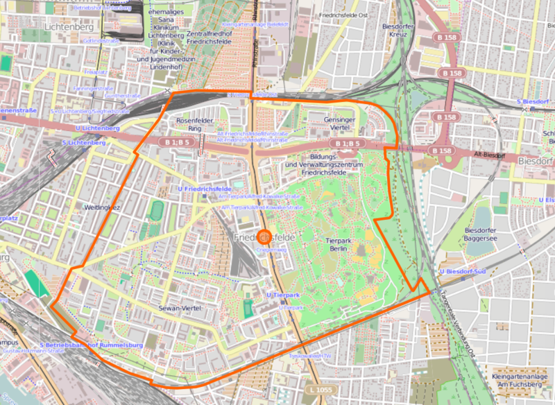
Straßen im Bereich Berlin-Friedrichsfelde |
| Source | open street map |
| Creator |
OSM-Team |
| Georeferencing | If inappropriate please set warp_status = skip to hide. |
Licensing edit
This file is licensed under the Creative Commons Attribution-Share Alike 2.0 Generic license.
- You are free:
- to share – to copy, distribute and transmit the work
- to remix – to adapt the work
- Under the following conditions:
- attribution – You must give appropriate credit, provide a link to the license, and indicate if changes were made. You may do so in any reasonable manner, but not in any way that suggests the licensor endorses you or your use.
- share alike – If you remix, transform, or build upon the material, you must distribute your contributions under the same or compatible license as the original.
File history
Click on a date/time to view the file as it appeared at that time.
| Date/Time | Thumbnail | Dimensions | User | Comment | |
|---|---|---|---|---|---|
| current | 21:38, 23 January 2014 | | 1,012 × 739 (1.33 MB) | Fridolin freudenfett (talk | contribs) | Bessere OT-Grenzen |
| 17:43, 29 April 2010 |  | 508 × 594 (250 KB) | 44penguins (talk | contribs) | {{Information |Description= Straßen im Bereich Berlin-Friedrichsfelde |Source= open street map |Date= |Author=OSM-Team |Permission= |other_versions= }} Category:Streets in Berlin-Friedrichsfelde Category:Maps |
You cannot overwrite this file.
File usage on Commons
The following 2 pages use this file:
File usage on other wikis
The following other wikis use this file:
- Usage on de.wikipedia.org
- Usage on fr.wikipedia.org
- Usage on ru.wikipedia.org
- Usage on tg.wikipedia.org
- Usage on www.wikidata.org