File:Bryn-Yr-Afr Lead Mine.jpg

Size of this preview: 799 × 600 pixels. Other resolutions: 320 × 240 pixels | 640 × 480 pixels | 1,024 × 768 pixels | 1,280 × 961 pixels | 2,560 × 1,921 pixels | 3,562 × 2,673 pixels.
Original file (3,562 × 2,673 pixels, file size: 4.77 MB, MIME type: image/jpeg)
Captions
Captions
Add a one-line explanation of what this file represents
Summary
edit
| Description |
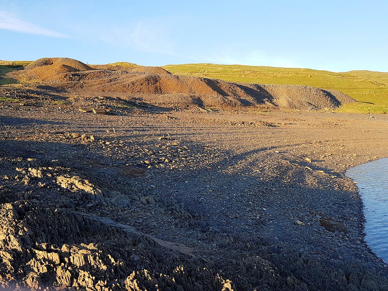
Cymraeg: Mwynglawdd Plwm Bryn-Yr-Afr. Mwynglawdd plwm yn Blaenrheidol English: Bryn-Yr-Afr Lead Mine |
| Source | Mindat.org |
| Author | Chris Popham |
| Camera location | | View this and other nearby images on: OpenStreetMap |
|---|
| Object location | | View this and other nearby images on: OpenStreetMap |
|---|
Licensing
edit
| This work has been released into the public domain by its author, Chris Popham. This applies worldwide. In some countries this may not be legally possible; if so: Chris Popham grants anyone the right to use this work for any purpose, without any conditions, unless such conditions are required by law.
|
File history
Click on a date/time to view the file as it appeared at that time.
| Date/Time | Thumbnail | Dimensions | User | Comment | |
|---|---|---|---|---|---|
| current | 12:57, 19 November 2020 | | 3,562 × 2,673 (4.77 MB) | Jason.nlw (talk | contribs) | New image for d:Q102082069 |
You cannot overwrite this file.
File usage on Commons
There are no pages that use this file.